Premium Badge Aus dem App Store herunterladen Hol dir Bikemap auf Google Play Turn-by-Turn-Navigation Offline Maps Bike Type Optimized Routing Premium Maps Individueller Fahrradcomputer Routen-Export Route Previews Sturzerkennung Premium Support

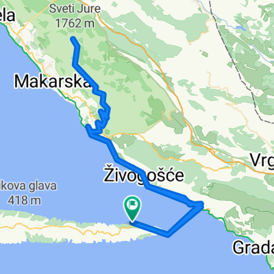
Radroute in Tučepi, Splitsko-Dalmatinska Županija, Kroatien

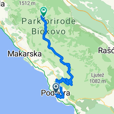
Deset uvala 701 - Bogomolje - Gdinj - Gdinjske vale - Bogomoljske vale - Bogomolje on GPSies.com

0
Route in der Bikemap App öffnen

Route in der Bikemap App öffnen

Diese Route in Bikemap Web öffnen

Diese Route in Bikemap Web öffnen

20 km
Distanz
511 m
Aufstieg
513 m
Abstieg
-:-- h
Dauer
-- km/h
ø-Tempo
--- m
Max. Höhe

Über diese Route

701. DESET UVALA - HR Kružna staza nalazi se na istočnom dijelu otoka, dijelom ide preko hrpta s istoka prema zapadu, a potom se spušta prema južnoj obali. Početak staze je u naselju Bogomolje. Prolazi kroz mjesto prema sjeveru te s asfaltirane ceste skreće na makadamski put koji prolazi kroz maslinike. Nastavljajući prema zapadu lagani uspon (od 220 m do 350 m) staza se spaja na državnu cestu D-116 prema Gdinju. Po dolasku u Gdinj asfaltiranim serpentinama strmo se spušta (350 m – 10 m) prema južnim uvalama Gdinja i Bogomolja. Dalje se staza nastavlja makadamskim putem kroz uvale, do dijela gdje se ponovno strmo uspinje do završetka u mjestu Bogomolje. Staza je kombinacija asfaltirane ceste i makadamskih puteva, a duga je 19,8 km.   701. DESET UVALA - HR The circular track is on the east part of the island, going along the ridge from east to west, and then descending towards the southern side. The track begins in the village Bogomolje and passes through it, in the direction of north, taking a turn from the tarmac to off road path going through olive garden. Continuing the ascend to north (an easy ascend 220m to 350m) the track connects to the state road D-116 towards Gdinja and Bogomolja bays. We are back on off the road again heading through the bays up to the steep climb towards Bogomolje village. The track is a combination of tarmac and off-road with a total length of 19,8km.


Passe diese Fahrradroute mit dem Bikemap-Routenplaner an.

Passe diese Route an!

Wusstest du schon? Du kannst diese Route als Vorlage in unserem Routenplaner verwenden, und sie ganz einfach nach deinen Bedürfnissen anpassen. So planst du noch schneller deine perfekte Radtour.

In der App öffnen