City, Dalkeith, Cottesloe, Burnsbeach Ride
- 90 km
- 640 m
- 585 m
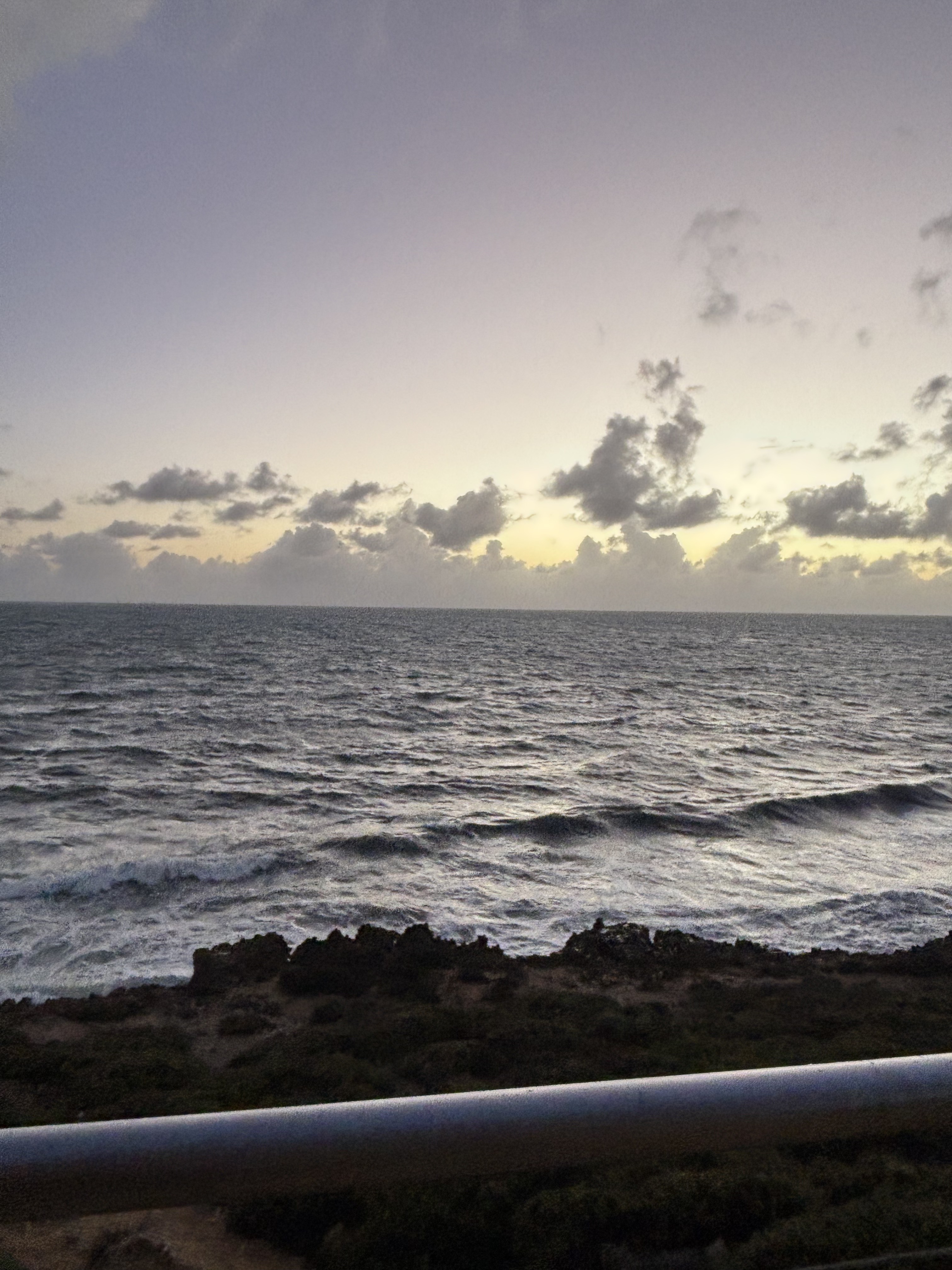
- Hillarys, Westaustralien, Australien
Eine Fahrradroute, die in Hillarys, Westaustralien, Australien beginnt.
Übersicht
Aufgrund der Autobahn würde ich erwarten, dass diese Route viel schneller ist als deine 12,5 km. Zunächst fährst du nach Süden nach Sorrento. Diese folgt einer eigenen Radroute (kein Radweg) bis zur Autobahn. Keine großen Straßen oder Ampeln! Für dich maximal 10 Minuten bis zur Autobahn ... kein Stress! Dann auf die Autobahn. Wenn du ein eigenes GPS am Rad hast, kann ich dir die GPX-Datei schicken. Du kannst die Datei auf deine Uhr hochladen. Tatsächliche Entfernung 14,8 km!
Erstellt vor 5 Jahren
Routenqualität
Radweg
6,2 km
(42 %)
Ruhige Straße
6,1 km
(41 %)
Befestigt
14,1 km
(95 %)
Asphalt
7,4 km
(50 %)
Befestigt (undefiniert)
6,1 km
(41 %)
Weiter mit Bikemap
Du möchtest Urban Lair to ECU fahren oder sie für deine eigene Reise anpassen? Folgendes kannst du mit dieser Bikemap-Route machen:
Kostenlose Testversion für 3 Tage oder einmalige Zahlung. Mehr über Bikemap Premium.
Entdecke weitere Premium-Funktionen.
Bikemap Premium aktivierenVon unserer Community
In der App öffnen