

Kent Churces charity ride (Sept 2010)
Eine Fahrradroute, die in Wye, England, Vereinigtes Königreich beginnt.
Übersicht
Über diese Route
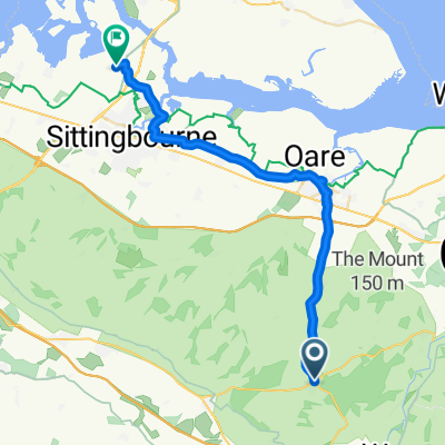
Route für die Kent Churches Charity-Fahrt am Samstag, den 11. September 2010. Ausgehend von Wye folgt die Route dem Fuß der North Downs nach Stanford und überquert dann nach Lympne, bevor es einen steilen Abstieg zur Romney Marsh gibt, wo flache Straßen von starken Winden begleitet werden. Die Route berührt die Küste an ein paar Stellen, bevor sie nach Old Romney fährt, wo sie nach Norden abbiegt, schließlich einen steilen Anstieg zur Aldington Church macht und dann über Mersham zurück nach Smeeth führt. Insgesamt sind die Straßen sehr ruhig.
- -:--
- Dauer
- 85,2 km
- Distanz
- 276 m
- Aufstieg
- 237 m
- Abstieg
- ---
- Ø-Tempo
- ---
- Max. Höhe
Routenqualität
Wegtypen und Untergründe entlang der Route
Wegtypen
Straße
33,2 km
(39 %)
Ruhige Straße
32,4 km
(38 %)
Untergründe
Befestigt
42,6 km
(50 %)
Asphalt
42,6 km
(50 %)
Undefiniert
42,6 km
(50 %)
Weiter mit Bikemap
Diese Radroute verwenden, bearbeiten oder herunterladen
Du möchtest Kent Churces charity ride (Sept 2010) fahren oder sie für deine eigene Reise anpassen? Folgendes kannst du mit dieser Bikemap-Route machen:
Gratis Funktionen
- Speichere diese Route als Favorit oder in einer Sammlung
- Kopiere & plane deine eigene Version dieser Route
- Teile sie in Etappen ein, um eine mehrtägige Tour zu erstellen
- Synchronisiere deine Route mit Garmin oder Wahoo
Premium-Funktionen
Kostenlose Testversion für 3 Tage oder einmalige Zahlung. Mehr über Bikemap Premium.
- Navigiere diese Route auf iOS & Android
- Exportiere eine GPX / KML-Datei dieser Route
- Erstelle deinen individuellen Ausdruck (Jetzt kostenlos ausprobieren)
- Lade diese Route für die Offline-Navigation herunter
Entdecke weitere Premium-Funktionen.
Bikemap Premium aktivierenVon unserer Community
Wye: Andere beliebte Routen, die hier beginnen
 Relaxed route in Ashford
- Distanz
- 5,6 km
- Aufstieg
- 51 m
- Abstieg
- 64 m
- Standort
- Wye, England, Vereinigtes Königreich
 Short bike tour through Ashford
- Distanz
- 8,5 km
- Aufstieg
- 73 m
- Abstieg
- 76 m
- Standort
- Wye, England, Vereinigtes Königreich
 Churchfield Way 28, Wye to Plum Pudding Island
- Distanz
- 78,6 km
- Aufstieg
- 426 m
- Abstieg
- 509 m
- Standort
- Wye, England, Vereinigtes Königreich
 Kent Churces charity ride (Sept 2010)
- Distanz
- 85,2 km
- Aufstieg
- 276 m
- Abstieg
- 237 m
- Standort
- Wye, England, Vereinigtes Königreich
 Wye Hilly Loop 1
- Distanz
- 31,9 km
- Aufstieg
- 405 m
- Abstieg
- 396 m
- Standort
- Wye, England, Vereinigtes Königreich
 King's Wood ( small loop)
- Distanz
- 11,8 km
- Aufstieg
- 166 m
- Abstieg
- 199 m
- Standort
- Wye, England, Vereinigtes Königreich
 Cantii Way - via Margate
- Distanz
- 242,5 km
- Aufstieg
- 1.425 m
- Abstieg
- 1.437 m
- Standort
- Wye, England, Vereinigtes Königreich
 Crossways, Canterbury Road, Ashford to Holly Blue Drive, Sittingbourne
- Distanz
- 28,8 km
- Aufstieg
- 28 m
- Abstieg
- 179 m
- Standort
- Wye, England, Vereinigtes Königreich
In der App öffnen