Radroute in Jelsa, Splitsko-Dalmatinska Županija, Kroatien
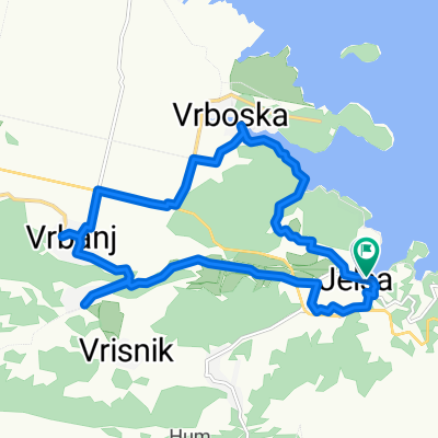
Vrboska - Basina - Starogradsko polje – Vrboska

Route in der Bikemap App öffnen

Diese Route in Bikemap Web öffnen
Distanz
Aufstieg
Abstieg
Dauer
ø-Tempo
Max. Höhe
Radroute in Jelsa, Splitsko-Dalmatinska Županija, Kroatien
Route in der Bikemap App öffnen
Diese Route in Bikemap Web öffnen
A circular track located in the centre of the island. Most of the track is unpaved and the track itself is 16,3km long. Most of the track goes through Starigrad field and nearby villages. Track starts at Vrboska village, turning north over the bridge up to unpaved road leading through olive gardens and pinewood trees to Maslinica bay, Basin and Borovo, continuing south again to Starigrad fields. Before we reach Stari Grad (old town), the track turns east towards Vrboska back to where it started.
Wusstest du schon? Du kannst diese Route als Vorlage in unserem Routenplaner verwenden, und sie ganz einfach nach deinen Bedürfnissen anpassen. So planst du noch schneller deine perfekte Radtour.
In der App öffnen