Premium Badge Aus dem App Store herunterladen Hol dir Bikemap auf Google Play Turn-by-Turn-Navigation Offline Maps Bike Type Optimized Routing Premium Maps Individueller Fahrradcomputer Routen-Export Route Previews Sturzerkennung Premium Support

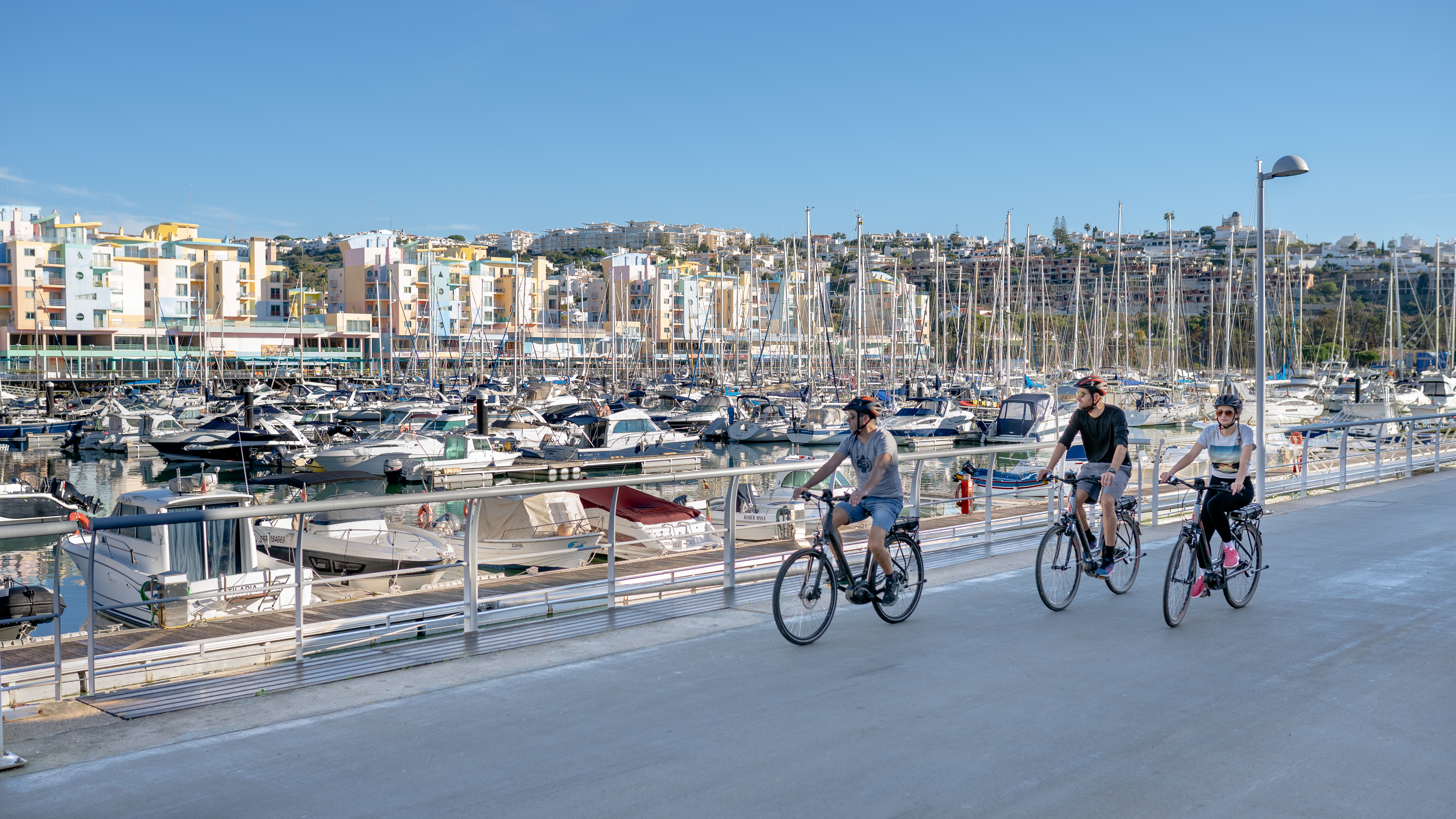
Radroute in Albufeira, Faro, Portugal

Albufeira Touring Tour

3
Diese Route in Bikemap Web öffnen

Diese Route in Bikemap Web öffnen

45 km
Distanz
470 m
Aufstieg
460 m
Abstieg
-:-- h
Dauer
-- km/h
ø-Tempo
--- m
Max. Höhe

Über diese Route

EN:

  • Start and finish of the route: Albufeira (Avenida da Liberdade)
  • Difficulty level: Intermediate
  • Time needed: Approximately 3h 45mins at an average of 12.5 km/h
  • Elevation: Climb 478 m, 467 m descent
  • GPS Coordinates: 37.09033, -8.25419
  • Distance: 44 km

Description

Albufeira is one of the most popular sun and beach destinations in the Algarve but it also offers a wide array of natural and built attractions both in the historical city centre and in the inland parts of the municipality. The village of Paderne is an excellent example of one of the places worth visiting. This route also lets you visit the civil parish of Guia, the cliffs at São Rafael and Albufeira Marina.

_____________________________________________

PT:

Sobre a Rota:

  • Início e fim do percurso – Albufeira – Av da Liberdade
  • Grau/nível de dificuldade - Intermédio
  • Tempo de duração – Aproximadamente 3h45 à média de cerca de 12,5km/h
  • Altimetria – 430mt de subida
  • Coordenadas GPS: 37.09033, -8.25419
  • Distância: 44.1km

Descrição:

Albufeira é um dos destinos de sol e praia mais procurados no Algarve, no entanto oferece também uma enorme riqueza natural e edificada tanto no centro histórico bem como no interior do concelho. A aldeia de Paderne é um excelente exemplo e um dos locais a visitar. Neste percurso visita ainda a aldeia da Guia, as falésias de São Rafael e a Marina de Albufeira.

_____________________________________________

ES:

Sobre la ruta

  • Inicio y final del recorrido: Albufeira (Avenida da Liberdade)
  • Nivel de dificultad: medio
  • Duración: Unas 3 horas y 45 minutos a una media aproximada de 12,5 km/h
  • Altimetría:
    • 478 metros de ascensión
    • 467 metros descenso
  • Coordenadas GPS: 37.09033, -8.25419

Descripción

Albufeira es uno de los destinos de sol y playa más demandados del Algarve, aunque también cuenta con una enorme riqueza natural y edificada, tanto en su centro histórico como en el interior del municipio. La aldea de Paderne es un excelente ejemplo de los lugares que podemos visitar. Esta ruta también nos lleva por la parroquia de Guia, los acantilados de São Rafael y el puerto deportivo de Albufeira.

Diese Fahrradroute ist ideal für: Citybike

Du fährst auf folgendem Untergrund: Unbefestigt

Highlights entlang der Route

POI Foto 1: VisitAlgarve

Interessanter Ort

Miradouro Pau da Bandeira

POI Foto 2: VisitAlgarve

Interessanter Ort

Marina de Albufeira

POI Foto 3: VisitAlgarve

Interessanter Ort

Praia dos Arrifes

Mehr Highlights gibt es mit Bikemap für iOS und Android.

Passe diese Fahrradroute mit dem Bikemap-Routenplaner an.

Mach sie zu deiner!

Du kannst diese Route als Vorlage in unserem Fahrrad-Routenplaner verwenden, damit du nicht bei Null anfangen musst. Passe sie nach deinen Bedürfnissen an, um deine perfekte Radtour zu planen.