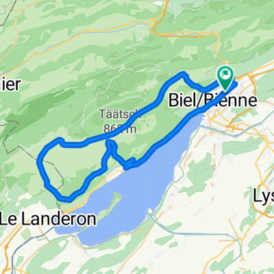
P-BielerSee (65km)
- 65 km
- 850 m
- 851 m
- Biel, Kanton Bern, Schweiz
Eine Fahrradroute, die in Biel, Kanton Bern, Schweiz beginnt.
Übersicht
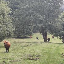
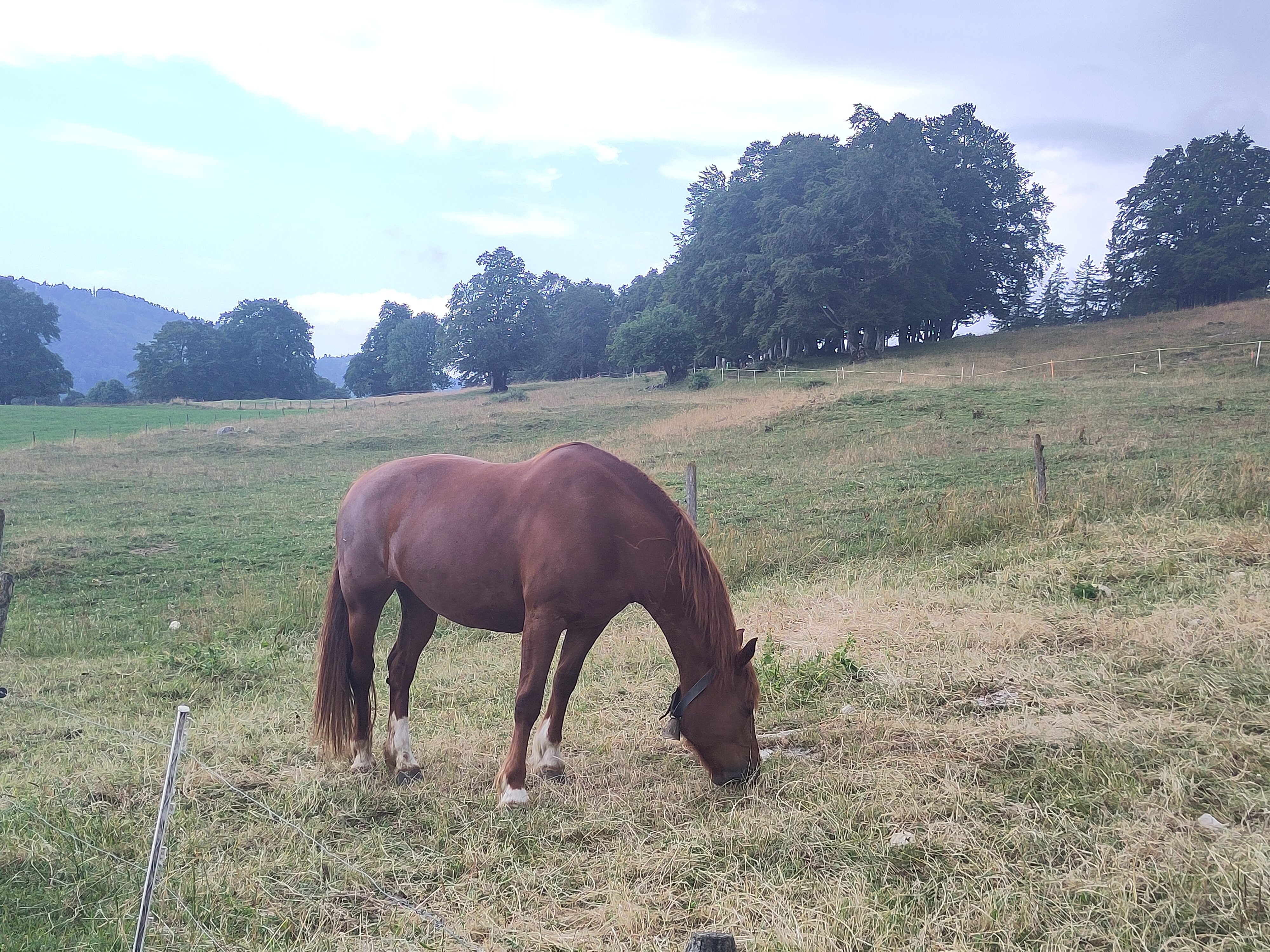
Schöne Route; beachten Sie, dass diese Version der Route nur wenige Kilometer abseits der Straßen verläuft. Bis Lengnau ist es flach, aber es ist okay zum Aufwärmen, dann beginnt die wirklich schöne Strecke und die Landschaft. Der schwierigste Teil des Anstiegs ist wahrscheinlich der Anfang bis km 12,5 in einen schönen Wald. Ein weiterer schwieriger Abschnitt ist Vauffelin bei km 18. Bei Plagne (km 21) beginnt die Abfahrt: Es ist ziemlich gerade ohne Kurven und man muss seine Geschwindigkeit kontrollieren. Bei km 26 gibt es den 2. Anstieg, aber er ist überhaupt nicht steil (ca. 4%), es geht einfach ein paar Kilometer bergauf, entlang der Hauptkantonsstraße (das ist der langweiligste Teil der Route). Bei km 37 wieder ein schöner Anstieg mit malerischer Landschaft (Vorsicht: km 42-45 sind abseits der Straßen, aber man kann mit einem Rennrad und 28mm Reifen fahren). Dann schnelle Abfahrt zurück nach Biel/Bienne.
Erstellt vor 5 Jahren
Routenqualität
Straße
22,1 km
(41 %)
Ruhige Straße
21,6 km
(40 %)
Befestigt
27 km
(50 %)
Unbefestigt
2,2 km
(4 %)
Asphalt
24,3 km
(45 %)
Befestigt (undefiniert)
2,7 km
(5 %)
Highlights der Route
TUNNEL: you need lights for your bike !!!
Off-road START
Off-road END
Weiter mit Bikemap
Du möchtest P-Biel/Lengnau/Plagne/Orvin/Macolin/Evilard (53km) fahren oder sie für deine eigene Reise anpassen? Folgendes kannst du mit dieser Bikemap-Route machen:
Kostenlose Testversion für 3 Tage oder einmalige Zahlung. Mehr über Bikemap Premium.
Entdecke weitere Premium-Funktionen.
Bikemap Premium aktivierenVon unserer Community
In der App öffnen