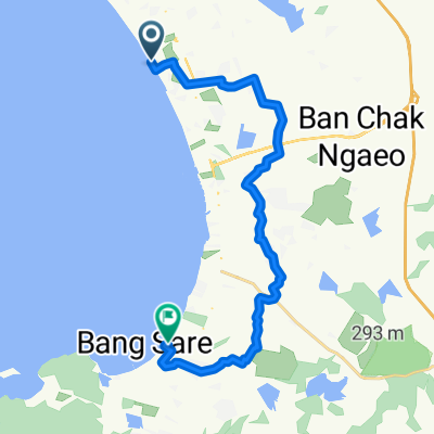
From Amphoe Bang Lamung to Amphoe Sattahip
- 23,9 km
- 80 m
- 81 m
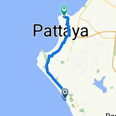
- Pattaya, Chonburi, Thailand
Eine Fahrradroute, die in Pattaya, Chonburi, Thailand beginnt.
Übersicht
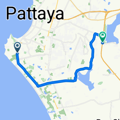
Start @ La Cerise Guesthouse on Soi Lengkee, Pattaya 3rd Road - head to Sukhumvit - turn right @ Mosque - follow Phon Prapha Road to meeting point @ 7 Eleven intersection Phon Prapha and Nongprue Road/Phon Prapha Nimit 22 - Start all tours with the Pattaya Road Cycling Community here: Head South to Phoenix Golf and Country Club - then to Wat Yannasang and Phra Maha Mondo Putthabat - another loop to Emerald Company Ltd - cross Highway No. 3 - follow down South to the Beach - turn West and ride to Phla - go back North to Highway No. 3 Sukhumvit dir. Satthahip past U-Tapao Airport - turn right on 3126 @ Phlu Ta Luang and go to the Beach - time for a Drink or Snack there @ km 100 - go back to No 3 and turn left - eventually turn right again and head North to reach Highway 332 - turn left and follow - turn right and go North again to Wan Pen and pass Khao Chi Chan Junction Railway Station - then head North again on small side roads - pass Phoenix Golf and Country club again, this time on the Western side - follow Canal Road North and eventually return to La Cerise Guesthouse
Erstellt vor 15 Jahren
Weiter mit Bikemap
Du möchtest Pattaya's South fahren oder sie für deine eigene Reise anpassen? Folgendes kannst du mit dieser Bikemap-Route machen:
Kostenlose Testversion für 3 Tage oder einmalige Zahlung. Mehr über Bikemap Premium.
Entdecke weitere Premium-Funktionen.
Bikemap Premium aktivierenVon unserer Community
In der App öffnen