Premium Badge Aus dem App Store herunterladen Hol dir Bikemap auf Google Play Turn-by-Turn-Navigation Offline Maps Bike Type Optimized Routing Premium Maps Individueller Fahrradcomputer Routen-Export Route Previews Sturzerkennung Premium Support

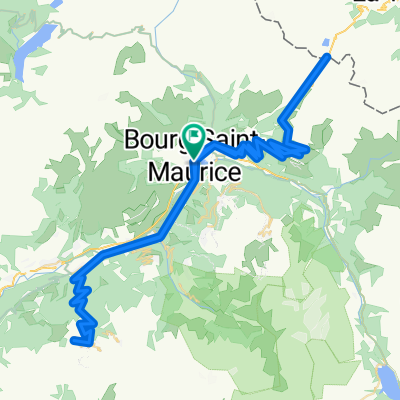
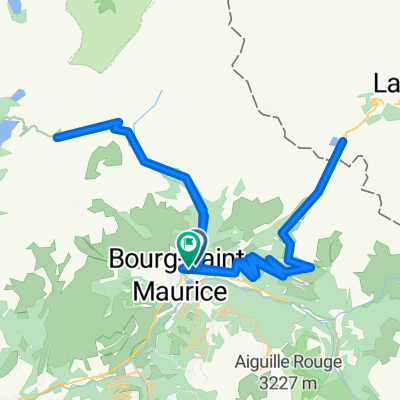
Radroute in Bourg-Saint-Maurice, Auvergne-Rhône-Alpes, Frankreich

TT COL DE LISERAIN

0
Route in der Bikemap App öffnen

Route in der Bikemap App öffnen

Diese Route in Bikemap Web öffnen

Diese Route in Bikemap Web öffnen

81 km
Distanz
1687 m
Aufstieg
1687 m
Abstieg
-:-- h
Dauer
-- km/h
ø-Tempo
--- m
Max. Höhe

Über diese Route

The highest pass of the the Alps can get a fair bit of tourist traffic. From the North the roads goes up and down and through tunnels past the lake and tunnels of Tignes. From the South the climb starts at Bonneval.


The Col de l'Iseran is situated inRhone Alpes and belongs to the Alps. Starting from Bourg Saint Maurice, the Col de l'Iseran ascent is 48 km long. Over this distance, you climb 1955 heightmeters. The average percentage is thus 4.1 %.

Diese Fahrradroute ist ideal für: Rennrad

Du fährst auf folgendem Untergrund: Asphaltiert

Passe diese Fahrradroute mit dem Bikemap-Routenplaner an.

Passe diese Route an!

Wusstest du schon? Du kannst diese Route als Vorlage in unserem Routenplaner verwenden, und sie ganz einfach nach deinen Bedürfnissen anpassen. So planst du noch schneller deine perfekte Radtour.

In der App öffnen