

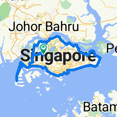
Bishan to Sentosa via MBS, Green Corridor
Eine Fahrradroute, die in Singapore, Central Singapore Community Development Council, Singapore beginnt.
Übersicht
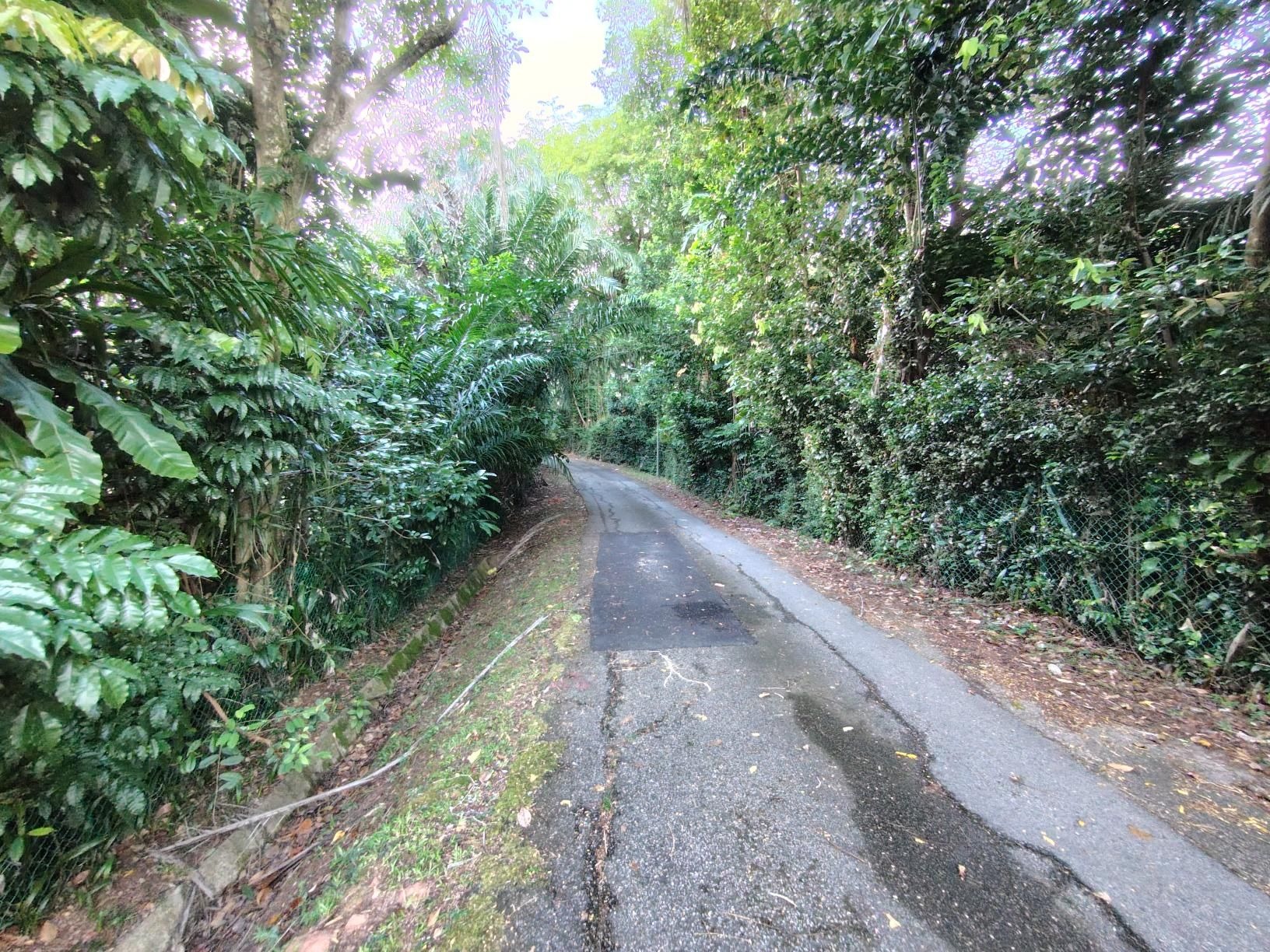
Über diese Route
Bishan, Kallang PCN, MBS, Shenton Way, West Coast Highway, Vivo, Sentosa Siloso Beach, Telok Blangah, Alexandra PCN, Quensway, Commonwealth Ave, Ulu Pandan PCN, Clementie Rd, Green Corridor @KAP, Bukit Timah Rd, Arcadia Rd, Adam Rd, Lornie Rd, Marymount, Bishan
- -:--
- Dauer
- 52,7 km
- Distanz
- 160 m
- Aufstieg
- 158 m
- Abstieg
- ---
- Ø-Tempo
- ---
- Ø-Tempo

Routenqualität
Wegtypen und Untergründe entlang der Route
Wegtypen
Fußgängerzone
13,1 km
(25 %)
Radweg
12,8 km
(24 %)
Untergründe
Befestigt
36,9 km
(70 %)
Asphalt
29,3 km
(56 %)
Beton
5,4 km
(10 %)
Weiter mit Bikemap
Diese Radroute verwenden, bearbeiten oder herunterladen
Du möchtest Bishan to Sentosa via MBS, Green Corridor fahren oder sie für deine eigene Reise anpassen? Folgendes kannst du mit dieser Bikemap-Route machen:
Gratis Funktionen
- Speichere diese Route als Favorit oder in einer Sammlung
- Kopiere & plane deine eigene Version dieser Route
- Synchronisiere deine Route mit Garmin oder Wahoo
Premium-Funktionen
Kostenlose Testversion für 3 Tage oder einmalige Zahlung. Mehr über Bikemap Premium.
- Navigiere diese Route auf iOS & Android
- Exportiere eine GPX / KML-Datei dieser Route
- Erstelle deinen individuellen Ausdruck (Jetzt kostenlos ausprobieren)
- Lade diese Route für die Offline-Navigation herunter
Entdecke weitere Premium-Funktionen.
Bikemap Premium aktivierenVon unserer Community
Singapore: Andere beliebte Routen, die hier beginnen
 RTI Shore Loop
- Distanz
- 132 km
- Aufstieg
- 635 m
- Abstieg
- 642 m
- Standort
- Singapur, Central Singapore Community Development Council, Singapur
 Tampines To Hyderabad/Kay Siang/Ridley Park
- Distanz
- 58,1 km
- Aufstieg
- 477 m
- Abstieg
- 477 m
- Standort
- Singapur, Central Singapore Community Development Council, Singapur
 Give it a hundred %
- Distanz
- 99,7 km
- Aufstieg
- 95 m
- Abstieg
- 87 m
- Standort
- Singapur, Central Singapore Community Development Council, Singapur
 170C Punggol Field, Punggol to Punggol East, Punggol
- Distanz
- 86 km
- Aufstieg
- 10 m
- Abstieg
- 30 m
- Standort
- Singapur, Central Singapore Community Development Council, Singapur
 Round Island (+TP1)
- Distanz
- 155,6 km
- Aufstieg
- 1.028 m
- Abstieg
- 1.029 m
- Standort
- Singapur, Central Singapore Community Development Council, Singapur
 SG RTI Clockwise Start ECP
- Distanz
- 120,3 km
- Aufstieg
- 171 m
- Abstieg
- 168 m
- Standort
- Singapur, Central Singapore Community Development Council, Singapur
 RTI CHILL RIDE
- Distanz
- 173,2 km
- Aufstieg
- 191 m
- Abstieg
- 197 m
- Standort
- Singapur, Central Singapore Community Development Council, Singapur
 First Round Island for 2021
- Distanz
- 122,5 km
- Aufstieg
- 1.707 m
- Abstieg
- 1.705 m
- Standort
- Singapur, Central Singapore Community Development Council, Singapur
In der App öffnen