Dol-de-Bretagne to St Malo Ferry Terminal
- 31,9 km
- 185 m
- 200 m
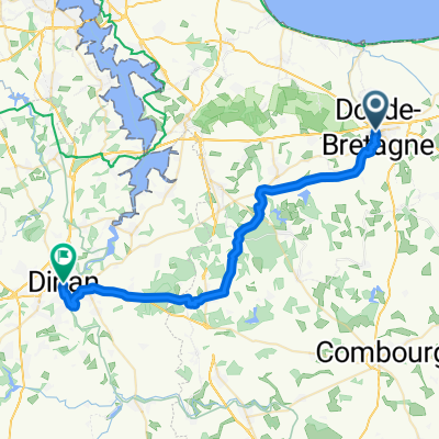
- Dol-de-Bretagne, Bretagne, Frankreich
Eine Fahrradroute, die in Dol-de-Bretagne, Bretagne, Frankreich beginnt.
Übersicht
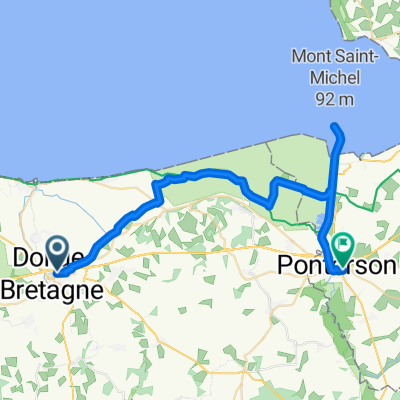
Vormittag: Mont-Saint-Michel durch die Polder
Abfahrt von Dol. Ankunft an der Kapelle Sainte-Anne. "Voie verte" durch die Polder nach Beauvoir. Mont-Saint-Michel.
Niedrigwasser wird um 13:30 Uhr erwartet, Hochwasser um 19:15 Uhr (1. Mai 2011). Möglichkeit von geführten Touren durch die Bucht ab Sainte-Anne oder Mont-Saint-Michel?
Abend: Combourg, dann zurück nach Hause
Fahrt nach Combourg über Pontorson. Besichtigung. Zugfahrt nach Rennes (etwa ein Zug pro Stunde bis 22 Uhr).
Wenn mehr Zeit in Mont-Saint-Michel gewünscht wird oder die Beine schmerzen, ist es möglich, von Pontorson zurück nach Dol zu fahren, statt nach Combourg (spart etwa 10 km).
Für diejenigen, die zu müde zum Radfahren sind, fährt morgens ein Bus von Dol nach Mont-Saint-Michel und abends zurück.
Erstellt vor 15 Jahren
Weiter mit Bikemap
Du möchtest De Dol au Mont-Saint-Michel à travers les polders, puis Combourg fahren oder sie für deine eigene Reise anpassen? Folgendes kannst du mit dieser Bikemap-Route machen:
Kostenlose Testversion für 3 Tage oder einmalige Zahlung. Mehr über Bikemap Premium.
Entdecke weitere Premium-Funktionen.
Bikemap Premium aktivierenVon unserer Community
In der App öffnen