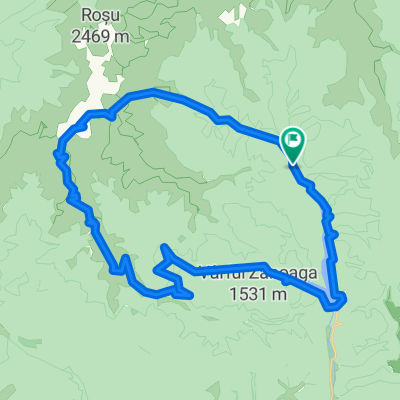
Radroute in Rucăr, Judeţul Argeş, Rumänien
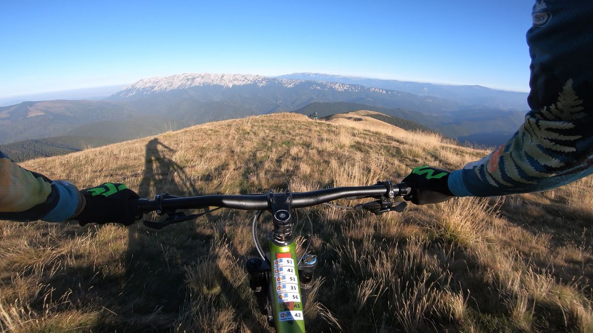
Enduro mtb trail in Iezer-Papusa mountains
1

Route in der Bikemap App öffnen

Diese Route in Bikemap Web öffnen
45
km
Distanz
Distanz
1768
m
Aufstieg
Aufstieg
1767
m
Abstieg
Abstieg
-:--
h
Dauer
Dauer
--
km/h
ø-Tempo
ø-Tempo
2134
m
Max. Höhe
Max. Höhe


