

11-13 Baird St, Tuncurry to 1 Baird St, Tuncurry
- 15,2 km
- 78 m
- 78 m
- Forster, Nueva Gales del Sur, Australia

Descubre un mapa con 54 rutas y senderos en bici cerca de Forster, creados por nuestra comunidad.
Retrato de la región
Encuentra la ruta en bicicleta ideal para ti en Forster, donde tenemos 54 rutas ciclistas para explorar. La mayoría de la gente sale en bicicleta por aquí en los meses de junio y julio.
1031 km
Distancia registrada
54
Rutas ciclistas
17.591
Población
Comunidad
Rutas seleccionadas a mano
De nuestra comunidad


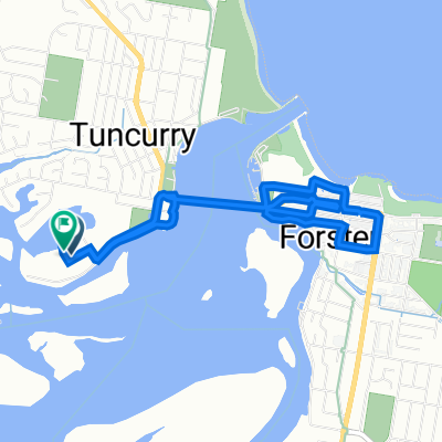
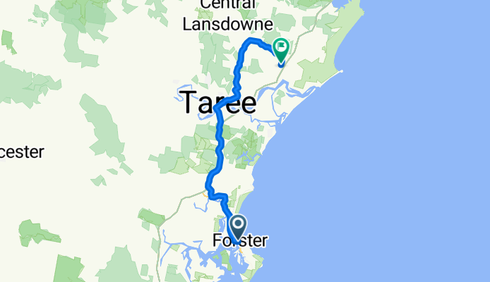
Ruta ciclista en Forster, Nueva Gales del Sur, Australia
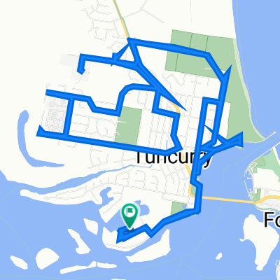
Ruta ciclista en Forster, Nueva Gales del Sur, Australia
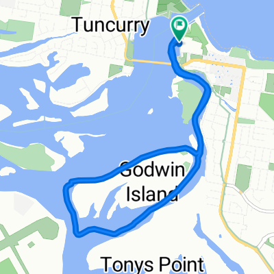
Ruta ciclista en Forster, Nueva Gales del Sur, Australia
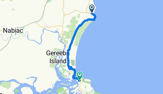
Ruta ciclista en Forster, Nueva Gales del Sur, Australia