


Colac - Warrnambool
- 231,2 km
- 2117 m
- 2132 m
- Belgrave Heights, Victoria, Australia

Descubre un mapa con 47 rutas y senderos en bici cerca de Belgrave Heights, creados por nuestra comunidad.
Retrato de la región
Encuentra la ruta en bicicleta ideal para ti en Belgrave Heights, donde tenemos 47 rutas ciclistas para explorar. La mayoría de la gente sale en bicicleta por aquí en el mes de agosto.
2013 km
Distancia registrada
47
Rutas ciclistas
1376
Población
Comunidad
De nuestra comunidad
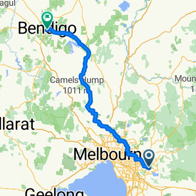
Ruta ciclista en Belgrave Heights, Victoria, Australia
Ruta ciclista en Belgrave Heights, Victoria, Australia
Ruta ciclista en Belgrave Heights, Victoria, Australia
Ruta ciclista en Belgrave Heights, Victoria, Australia


