
Warwick en bici
Descubre un mapa con 171 rutas y senderos en bici cerca de Warwick, creados por nuestra comunidad.
Retrato de la región
Conoce Warwick
Encuentra la ruta en bicicleta ideal para ti en Warwick, donde tenemos 171 rutas ciclistas para explorar. La mayoría de la gente sale en bicicleta por aquí en los meses de abril y mayo.
5135 km
Distancia registrada
171
Rutas ciclistas
24.040
Población
Comunidad
Usuarios más activos en Warwick


Rutas seleccionadas a mano
Descubre Warwick a través de estas colecciones

De nuestra comunidad
Las mejores rutas en bici en y alrededor de Warwick

Route 18 (Stratford-upon-Avon)
Ruta ciclista en Warwick, Inglaterra, Reino Unido
- 19 km
- Distancia
- 104 m
- Ascenso
- 114 m
- Descenso

Route 12 (Norton Lindsey)
Ruta ciclista en Warwick, Inglaterra, Reino Unido
- 15,8 km
- Distancia
- 132 m
- Ascenso
- 134 m
- Descenso

Route 15 (Lowsonford)
Ruta ciclista en Warwick, Inglaterra, Reino Unido
- 15,6 km
- Distancia
- 144 m
- Ascenso
- 136 m
- Descenso

Warwick to Kenilworth
Ruta ciclista en Warwick, Inglaterra, Reino Unido
- 7,4 km
- Distancia
- 56 m
- Ascenso
- 32 m
- Descenso
Descubre más rutas
 Day 2 - Warwick to Cirencester
- Distancia
- 93 km
- Ascenso
- 826 m
- Descenso
- 762 m
- Ubicación
- Warwick, Inglaterra, Reino Unido
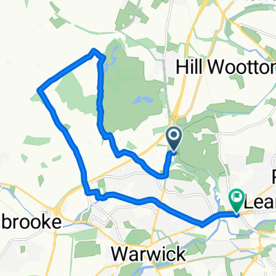 Route to 133 Warwick New Road, Royal Leamington Spa
- Distancia
- 11,9 km
- Ascenso
- 104 m
- Descenso
- 95 m
- Ubicación
- Warwick, Inglaterra, Reino Unido
 Route 14 (Aston Cantlow)
- Distancia
- 15,8 km
- Ascenso
- 110 m
- Descenso
- 119 m
- Ubicación
- Warwick, Inglaterra, Reino Unido
 Route 16 (Wilmcote)
- Distancia
- 16,5 km
- Ascenso
- 138 m
- Descenso
- 154 m
- Ubicación
- Warwick, Inglaterra, Reino Unido
 Route 11 (Rouncil Lane)
- Distancia
- 16,5 km
- Ascenso
- 115 m
- Descenso
- 121 m
- Ubicación
- Warwick, Inglaterra, Reino Unido
 Route 10 (Shrewley)
- Distancia
- 14,1 km
- Ascenso
- 97 m
- Descenso
- 110 m
- Ubicación
- Warwick, Inglaterra, Reino Unido
 Route 7 (Warwick Parkway)
- Distancia
- 13,1 km
- Ascenso
- 127 m
- Descenso
- 117 m
- Ubicación
- Warwick, Inglaterra, Reino Unido
 Roads to Cath and Steve
- Distancia
- 18,8 km
- Ascenso
- 46 m
- Descenso
- 79 m
- Ubicación
- Warwick, Inglaterra, Reino Unido