
Rothwell en bici
Descubre un mapa con 28 rutas y senderos en bici cerca de Rothwell, creados por nuestra comunidad.
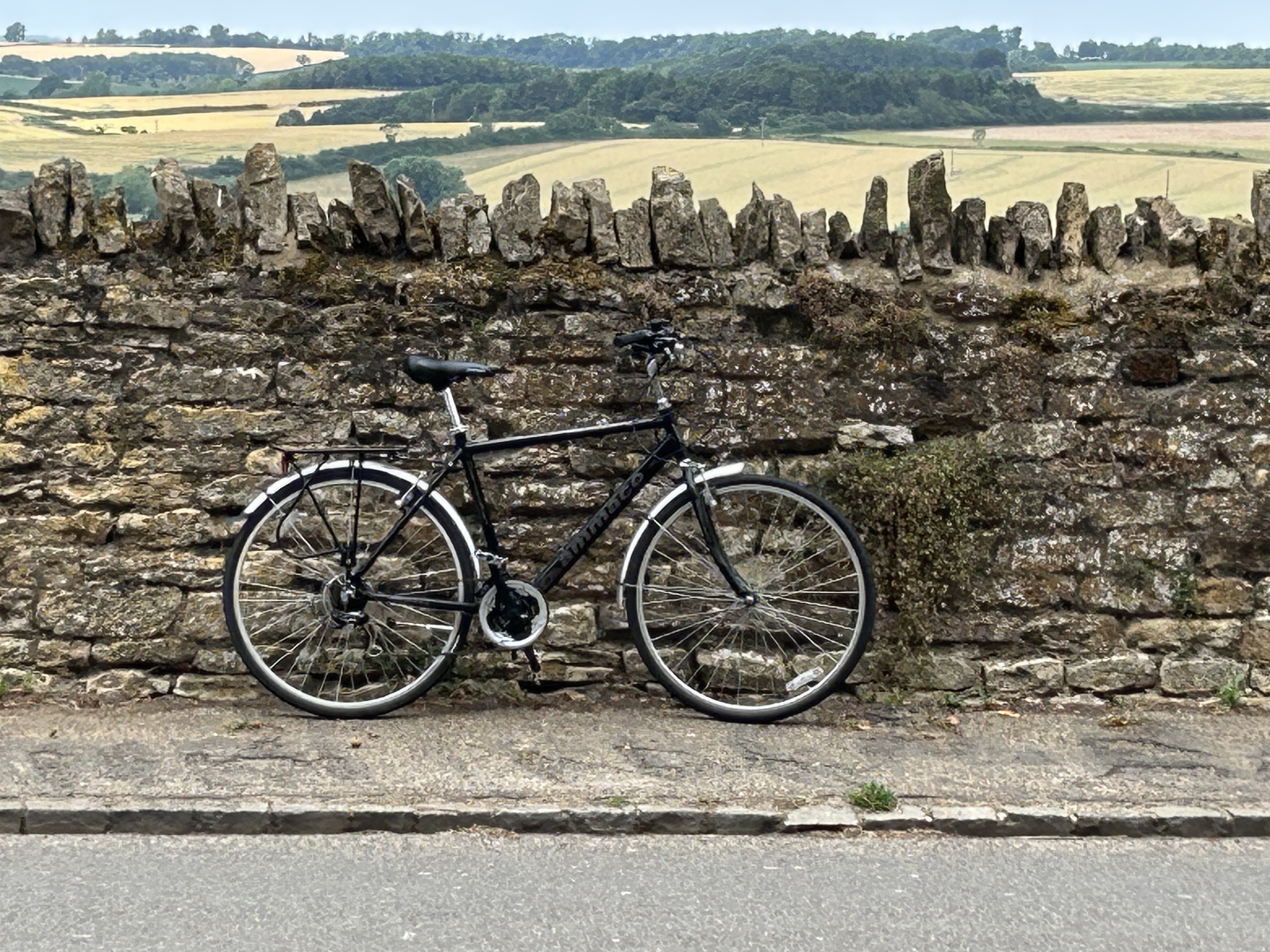
Retrato de la región
Conoce Rothwell
Encuentra la ruta en bicicleta ideal para ti en Rothwell, donde tenemos 28 rutas ciclistas para explorar.
1042 km
Distancia registrada
28
Rutas ciclistas
7266
Población
Comunidad
Usuarios más activos en Rothwell


De nuestra comunidad
Las mejores rutas en bici en y alrededor de Rothwell

KGH gentle evening ride out
Ruta ciclista en Rothwell, Inglaterra, Reino Unido
back lanes with the odd hill
- 18,2 km
- Distancia
- 178 m
- Ascenso
- 175 m
- Descenso

Mawsley route
Ruta ciclista en Rothwell, Inglaterra, Reino Unido
Easy route. A bit tricky near the end. Have to negotiate the cycleway over the A43, Kettering Northern bypass as there are no pedestrian lights, so you have to watch for the main traffic lights and go when they are red(keep watch for emergency vehicles, which are allowed topass red traffic lights).
- 36,7 km
- Distancia
- 254 m
- Ascenso
- 250 m
- Descenso

Rothwell to Portsmouth ferry terminal.
Ruta ciclista en Rothwell, Inglaterra, Reino Unido
A road bike route from Rothwell in Northamptonshire to Portsmouth ferry terminal (fully loaded for one week of following the Tour de France). To be completed in a day (28Jun16 before 8pm, with return on 05Jul16 plus 60 miles!) with possible train short cuts if necessary, in particular at Oxford, Reading and Basingstoke (which have trains to Portsmouth (Hilsea)- yet to be comfirmed for suitability i.e. taking bikes, Basingstoke is direct).
- 235,9 km
- Distancia
- 706 m
- Ascenso
- 825 m
- Descenso

Rushton to Rutland NY Loop
Ruta ciclista en Rothwell, Inglaterra, Reino Unido
Road route across smaller roads to link Rushton Hall and Rutland Water
Takes in Uppingham and Oakham for a tea break.
- 76,4 km
- Distancia
- 655 m
- Ascenso
- 655 m
- Descenso
Descubre más rutas
 Harrington Gradient
- Distancia
- 7,6 km
- Ascenso
- 79 m
- Descenso
- 77 m
- Ubicación
- Rothwell, Inglaterra, Reino Unido
 Orton Shoe
- Distancia
- 10,3 km
- Ascenso
- 75 m
- Descenso
- 81 m
- Ubicación
- Rothwell, Inglaterra, Reino Unido
 23 Horse Fair Lane, Kettering to Caldecott Road, Market Harborough
- Distancia
- 16 km
- Ascenso
- 154 m
- Descenso
- 196 m
- Ubicación
- Rothwell, Inglaterra, Reino Unido
 Recovered Route
- Distancia
- 58,5 km
- Ascenso
- 767 m
- Descenso
- 765 m
- Ubicación
- Rothwell, Inglaterra, Reino Unido
 Recovered Route
- Distancia
- 34,3 km
- Ascenso
- 486 m
- Descenso
- 474 m
- Ubicación
- Rothwell, Inglaterra, Reino Unido
 Tenbury Way, Kettering to Tenbury Way, Kettering
- Distancia
- 17,5 km
- Ascenso
- 400 m
- Descenso
- 403 m
- Ubicación
- Rothwell, Inglaterra, Reino Unido
 2 New St, Kettering to Mill Road, Rugby
- Distancia
- 37,6 km
- Ascenso
- 245 m
- Descenso
- 268 m
- Ubicación
- Rothwell, Inglaterra, Reino Unido
 Steady ride in Kettering
- Distancia
- 6,7 km
- Ascenso
- 57 m
- Descenso
- 77 m
- Ubicación
- Rothwell, Inglaterra, Reino Unido