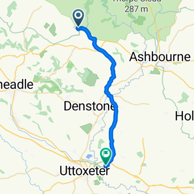
farm on the hill to Home
- 54,4 km
- 802 m
- 896 m
- Mayfield, Inglaterra, Reino Unido

Descubre un mapa con 50 rutas y senderos en bici cerca de Mayfield, creados por nuestra comunidad.
Retrato de la región
Encuentra la ruta en bicicleta ideal para ti en Mayfield, donde tenemos 50 rutas ciclistas para explorar.
1113 km
Distancia registrada
50
Rutas ciclistas
2158
Población
Comunidad
De nuestra comunidad
Ruta ciclista en Mayfield, Inglaterra, Reino Unido
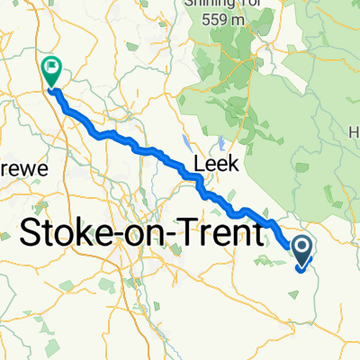
Ruta ciclista en Mayfield, Inglaterra, Reino Unido
Ruta ciclista en Mayfield, Inglaterra, Reino Unido
Ruta ciclista en Mayfield, Inglaterra, Reino Unido