
Ashbourne en bici
Descubre un mapa con 141 rutas y senderos en bici cerca de Ashbourne, creados por nuestra comunidad.
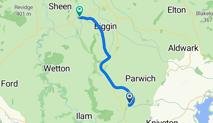
Retrato de la región
Conoce Ashbourne
Encuentra la ruta en bicicleta ideal para ti en Ashbourne, donde tenemos 141 rutas ciclistas para explorar. La mayoría de la gente sale en bicicleta por aquí en los meses de julio y octubre.
11.046 km
Distancia registrada
141
Rutas ciclistas
5132
Población
Comunidad
Usuarios más activos en Ashbourne


Rutas seleccionadas a mano
Descubre Ashbourne a través de estas colecciones
- Recorrido

De nuestra comunidad
Las mejores rutas en bici en y alrededor de Ashbourne
The Green to Church Street
Ruta ciclista en Ashbourne, Inglaterra, Reino Unido
- 12,5 km
- Distancia
- 182 m
- Ascenso
- 172 m
- Descenso

Trissington circle
Ruta ciclista en Ashbourne, Inglaterra, Reino Unido
- 28 km
- Distancia
- 311 m
- Ascenso
- 305 m
- Descenso

Route 10 Carsington Water circular
Ruta ciclista en Ashbourne, Inglaterra, Reino Unido
- 43,6 km
- Distancia
- 513 m
- Ascenso
- 514 m
- Descenso

C38.5 WPC
Ruta ciclista en Ashbourne, Inglaterra, Reino Unido
- 62,3 km
- Distancia
- 355 m
- Ascenso
- 357 m
- Descenso
Descubre más rutas
 Tissington Trail
- Distancia
- 39,8 km
- Ascenso
- 518 m
- Descenso
- 486 m
- Ubicación
- Ashbourne, Inglaterra, Reino Unido
 tissington trail to high peak trail
- Distancia
- 12,9 km
- Ascenso
- 219 m
- Descenso
- 159 m
- Ubicación
- Ashbourne, Inglaterra, Reino Unido
 Ashbourne - Alstonefield loop
- Distancia
- 26,1 km
- Ascenso
- 486 m
- Descenso
- 485 m
- Ubicación
- Ashbourne, Inglaterra, Reino Unido
 ride in the peak district
- Distancia
- 50,1 km
- Ascenso
- 723 m
- Descenso
- 723 m
- Ubicación
- Ashbourne, Inglaterra, Reino Unido
 Flashy Manifold Trail
- Distancia
- 77,5 km
- Ascenso
- 1186 m
- Descenso
- 1187 m
- Ubicación
- Ashbourne, Inglaterra, Reino Unido
 The Lanes 10-04-20
- Distancia
- 32,5 km
- Ascenso
- 284 m
- Descenso
- 287 m
- Ubicación
- Ashbourne, Inglaterra, Reino Unido
 Tissington Trail (one way)
- Distancia
- 27,2 km
- Ascenso
- 347 m
- Descenso
- 90 m
- Ubicación
- Ashbourne, Inglaterra, Reino Unido
 ashbourne loop
- Distancia
- 106,5 km
- Ascenso
- 1028 m
- Descenso
- 1029 m
- Ubicación
- Ashbourne, Inglaterra, Reino Unido