
Vitrolles en bici
Descubre un mapa con 81 rutas y senderos en bici cerca de Vitrolles, creados por nuestra comunidad.
Retrato de la región
Conoce Vitrolles
Encuentra la ruta en bicicleta ideal para ti en Vitrolles, donde tenemos 81 rutas ciclistas para explorar. La mayoría de la gente sale en bicicleta por aquí en los meses de abril y mayo.
10.289 km
Distancia registrada
81
Rutas ciclistas
38.591
Población
Comunidad
Usuarios más activos en Vitrolles


De nuestra comunidad
Las mejores rutas en bici en y alrededor de Vitrolles
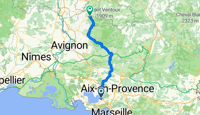
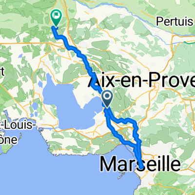
Marseille to Romain
Ruta ciclista en Vitrolles, Provenza-Alpes-Costa Azul, Francia
- 138,3 km
- Distancia
- 1481 m
- Ascenso
- 1267 m
- Descenso
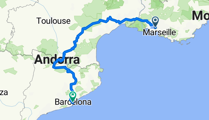
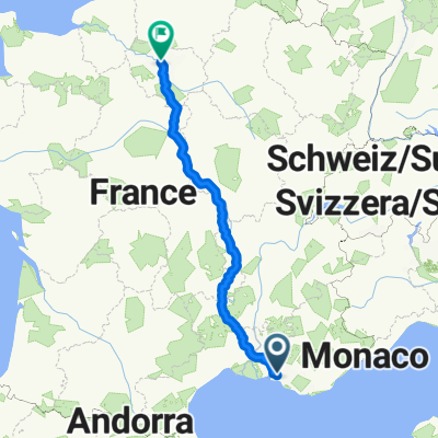
Marseille-Barcelona
Ruta ciclista en Vitrolles, Provenza-Alpes-Costa Azul, Francia
- 809,4 km
- Distancia
- 5469 m
- Ascenso
- 5437 m
- Descenso
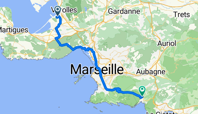
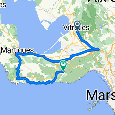
Flughafen Marseille - Cassis
Ruta ciclista en Vitrolles, Provenza-Alpes-Costa Azul, Francia
- 53 km
- Distancia
- 616 m
- Ascenso
- 522 m
- Descenso

Easter 2018 Eurovelo 8
Ruta ciclista en Vitrolles, Provenza-Alpes-Costa Azul, Francia
- 278,7 km
- Distancia
- 1224 m
- Ascenso
- 1220 m
- Descenso
Descubre más rutas
 Etappe 27 Vitrolles - Giens
- Distancia
- 128,6 km
- Ascenso
- 1100 m
- Descenso
- 1105 m
- Ubicación
- Vitrolles, Provenza-Alpes-Costa Azul, Francia
 Marseille to Romain Easy
- Distancia
- 111,4 km
- Ascenso
- 609 m
- Descenso
- 399 m
- Ubicación
- Vitrolles, Provenza-Alpes-Costa Azul, Francia
 Vitrolles - Marseille 02
- Distancia
- 100,1 km
- Ascenso
- 1334 m
- Descenso
- 1347 m
- Ubicación
- Vitrolles, Provenza-Alpes-Costa Azul, Francia
 eyguiéres/lamanon
- Distancia
- 140,6 km
- Ascenso
- 661 m
- Descenso
- 648 m
- Ubicación
- Vitrolles, Provenza-Alpes-Costa Azul, Francia
 sommer 2017
- Distancia
- 871,5 km
- Ascenso
- 1896 m
- Descenso
- 1980 m
- Ubicación
- Vitrolles, Provenza-Alpes-Costa Azul, Francia
 Mariagne-Niolon
- Distancia
- 57 km
- Ascenso
- 502 m
- Descenso
- 488 m
- Ubicación
- Vitrolles, Provenza-Alpes-Costa Azul, Francia
 210329_Vitroles_Redonne
- Distancia
- 58,6 km
- Ascenso
- 379 m
- Descenso
- 383 m
- Ubicación
- Vitrolles, Provenza-Alpes-Costa Azul, Francia
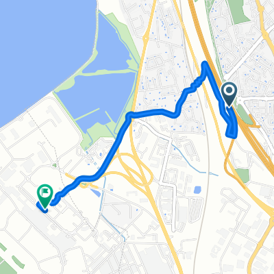 aeroport Marseille
- Distancia
- 3 km
- Ascenso
- 8 m
- Descenso
- 80 m
- Ubicación
- Vitrolles, Provenza-Alpes-Costa Azul, Francia