
Saint-Privat en bici
Descubre un mapa con 26 rutas y senderos en bici cerca de Saint-Privat, creados por nuestra comunidad.
Retrato de la región
Conoce Saint-Privat
Encuentra la ruta en bicicleta ideal para ti en Saint-Privat, donde tenemos 26 rutas ciclistas para explorar.
1100 km
Distancia registrada
26
Rutas ciclistas
1119
Población
Comunidad
Usuarios más activos en Saint-Privat


De nuestra comunidad
Las mejores rutas en bici en y alrededor de Saint-Privat

Ride Day 37—19 Oct 2005—19220 St-Julien-aux-Bois to 24200 Sarlat-La-Canéda
Ruta ciclista en Saint-Privat, Nouvelle-Aquitaine, Francia
- 114,8 km
- Distancia
- 633 m
- Ascenso
- 1067 m
- Descenso

Ride Day 36—17 Oct 2005—19220 St-Julien-aux-Bois -- Circle
Ruta ciclista en Saint-Privat, Nouvelle-Aquitaine, Francia
- 71,6 km
- Distancia
- 854 m
- Ascenso
- 854 m
- Descenso

Téléthon 2ème boucle
Ruta ciclista en Saint-Privat, Nouvelle-Aquitaine, Francia
- 29,5 km
- Distancia
- 336 m
- Ascenso
- 333 m
- Descenso

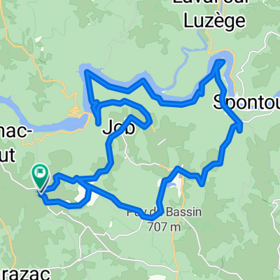
Argentat Biars Camps Goulles St Cirgues St Privat Argentat
Ruta ciclista en Saint-Privat, Nouvelle-Aquitaine, Francia
- 94,8 km
- Distancia
- 842 m
- Ascenso
- 839 m
- Descenso
Descubre más rutas
 Téléthon Auriac 1ère boucle
- Distancia
- 23,3 km
- Ascenso
- 266 m
- Descenso
- 266 m
- Ubicación
- Saint-Privat, Nouvelle-Aquitaine, Francia
 St Privat Pas de Peyrol St Paul Loupiac
- Distancia
- 120,3 km
- Ascenso
- 1398 m
- Descenso
- 1399 m
- Ubicación
- Saint-Privat, Nouvelle-Aquitaine, Francia
 Téléthon Auriac
- Distancia
- 90,6 km
- Ascenso
- 808 m
- Descenso
- 808 m
- Ubicación
- Saint-Privat, Nouvelle-Aquitaine, Francia
 Running Bassignac
- Distancia
- 5,2 km
- Ascenso
- 66 m
- Descenso
- 58 m
- Ubicación
- Saint-Privat, Nouvelle-Aquitaine, Francia
 Untitled route
- Distancia
- 29,2 km
- Ascenso
- 925 m
- Descenso
- 924 m
- Ubicación
- Saint-Privat, Nouvelle-Aquitaine, Francia
 Viaduc Rocher noir
- Distancia
- 35,1 km
- Ascenso
- 535 m
- Descenso
- 537 m
- Ubicación
- Saint-Privat, Nouvelle-Aquitaine, Francia
 3 Lafont, Saint-Privat à 1 Lafont, Saint-Privat
- Distancia
- 59 km
- Ascenso
- 1525 m
- Descenso
- 1522 m
- Ubicación
- Saint-Privat, Nouvelle-Aquitaine, Francia
 Jour 5 Saint-Geniez-Lac d'Enchanet
- Distancia
- 32,1 km
- Ascenso
- 383 m
- Descenso
- 408 m
- Ubicación
- Saint-Privat, Nouvelle-Aquitaine, Francia