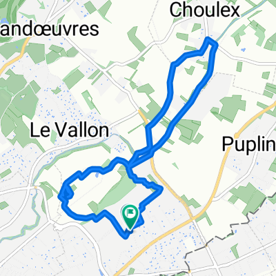
Puplinge en bici
Descubre un mapa con 43 rutas y senderos en bici cerca de Puplinge, creados por nuestra comunidad.
Retrato de la región
Conoce Puplinge
Encuentra la ruta en bicicleta ideal para ti en Puplinge, donde tenemos 43 rutas ciclistas para explorar.
5513 km
Distancia registrada
43
Rutas ciclistas
2163
Población
De nuestra comunidad
Las mejores rutas en bici en y alrededor de Puplinge
Eté 2017 - Choulex - San Sebastian
Ruta ciclista en Puplinge, Ginebra, Suiza
- 1174,1 km
- Distancia
- 3666 m
- Ascenso
- 4037 m
- Descenso
France - été 2019
Ruta ciclista en Puplinge, Ginebra, Suiza
- 2122,9 km
- Distancia
- 4948 m
- Ascenso
- 4948 m
- Descenso
Descubre más rutas
 Campagne Collonges - Bellerive
- Distancia
- 23,1 km
- Ascenso
- 169 m
- Descenso
- 170 m
- Ubicación
- Puplinge, Ginebra, Suiza
 Choulex - St Blaise - Croisette - Veyrier - Thônex - Choule
- Distancia
- 73,4 km
- Ascenso
- 1055 m
- Descenso
- 1056 m
- Ubicación
- Puplinge, Ginebra, Suiza
 Tour du Salève - Croisette Cruseilles Croisette
- Distancia
- 79,7 km
- Ascenso
- 1550 m
- Descenso
- 1550 m
- Ubicación
- Puplinge, Ginebra, Suiza
 Choulex - Tanay (projet)
- Distancia
- 89,7 km
- Ascenso
- 3482 m
- Descenso
- 2498 m
- Ubicación
- Puplinge, Ginebra, Suiza
 deux fois le Jura
- Distancia
- 97,1 km
- Ascenso
- 1821 m
- Descenso
- 1723 m
- Ubicación
- Puplinge, Ginebra, Suiza
 Avec Stéph et Aïmi
- Distancia
- 20,4 km
- Ascenso
- 134 m
- Descenso
- 133 m
- Ubicación
- Puplinge, Ginebra, Suiza
 Chemin des Agrimenseurs, Thônex à Chemin des Sillons 7, Thônex
- Distancia
- 7,1 km
- Ascenso
- 7 m
- Descenso
- 7 m
- Ubicación
- Puplinge, Ginebra, Suiza
 60km Rundfahrt relativ flach
- Distancia
- 58,7 km
- Ascenso
- 235 m
- Descenso
- 234 m
- Ubicación
- Puplinge, Ginebra, Suiza


