Ecuador en bici
Descubre un mapa con 9573 rutas y senderos en bici en Ecuador, creados por nuestra comunidad.
Retrato de la región
Conoce Ecuador
Find and create the best bike routes with the Bikemap bike route planner online. The Ecuadorian landscapes are constantly changing: There are coasts and jungles, half tropical forests and flat plains can all be crossed. Starting from the capital Quito, the active volcano Cotopaxi is easily reached within a day. Its snow covered peak sticks up towards the sky and offers an extraordinary panorama. Sometimes, ascends of 2000 metres have to be overcome within a few kilometres, but the descends are even more fun in turn.
438.100 km
Distancia registrada
9573
Rutas ciclistas
14,8 millones
Población
Comunidad
Usuarios más activos en Ecuador
Rutas seleccionadas a mano
Descubre Ecuador a través de estas colecciones
De nuestra comunidad
Las mejores rutas en bici en Ecuador
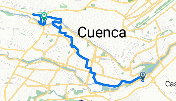
Turubamba, Cuenca to Victor Manuel Albornoz, Cuenca
Ruta ciclista en Cuenca, Azuay, Ecuador
- 9,8 km
- Distancia
- 127 m
- Ascenso
- 65 m
- Descenso
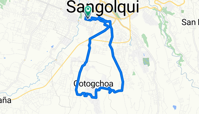
Sangolquí-El Milagro-Cotogchoa-Albornoz-26-oct 💪🏽🙂🚵🏽♂️
Ruta ciclista en Sangolquí, Pichincha, Ecuador
- 16,8 km
- Distancia
- 269 m
- Ascenso
- 271 m
- Descenso
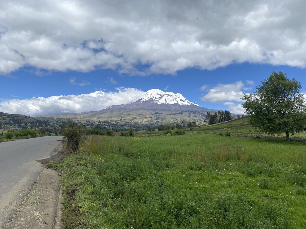
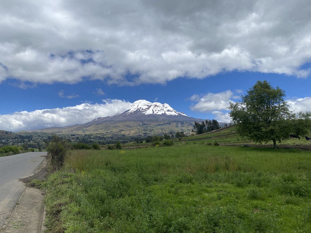
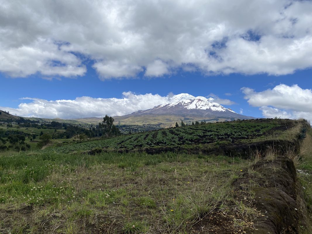
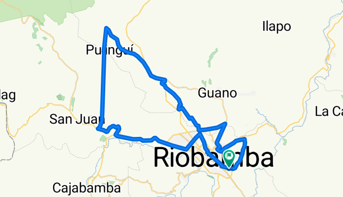
Río de Janeiro, Riobamba to San Andres, Urbina, Calpi, Lican to Riobamba, Río de Janeiro
Ruta ciclista en Riobamba, Provincia de Chimborazo, Ecuador
- 62,5 km
- Distancia
- 915 m
- Ascenso
- 913 m
- Descenso
Descubre más rutas
 Iruguincho Coñaqui
- Distancia
- 20,5 km
- Ascenso
- 570 m
- Descenso
- 577 m
- Ubicación
- Atuntaqui, Imbabura, Ecuador
 Paseo tranquilo
- Distancia
- 7,2 km
- Ascenso
- 47 m
- Descenso
- 76 m
- Ubicación
- Ibarra, Imbabura, Ecuador
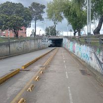 sábado 1
- Distancia
- 2,4 km
- Ascenso
- 70 m
- Descenso
- 26 m
- Ubicación
- Cuenca, Azuay, Ecuador
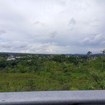 Ruta Paso Lateral
- Distancia
- 9,9 km
- Ascenso
- 132 m
- Descenso
- 138 m
- Ubicación
- Macas, Morona Santiago, Ecuador
 Vuelta a los ilinisas
- Distancia
- 71,4 km
- Ascenso
- 529 m
- Descenso
- 1578 m
- Ubicación
- Machachi, Pichincha, Ecuador
 totoracoha a Solano
- Distancia
- 14,7 km
- Ascenso
- 153 m
- Descenso
- 102 m
- Ubicación
- Cuenca, Azuay, Ecuador
 De P38V+7F3 a P38V+7F3
- Distancia
- 11,1 km
- Ascenso
- 85 m
- Descenso
- 101 m
- Ubicación
- Machala, El Oro, Ecuador
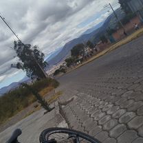 Ruta desde Río Puyango 2-05 y
- Distancia
- 4,3 km
- Ascenso
- 198 m
- Descenso
- 48 m
- Ubicación
- Ibarra, Imbabura, Ecuador
Aspectos destacados
- Visit the impressive Cotopaxi National Park, named after the world’s highest, still active, eponymous volcano, by bike.
- The city Quito, situated directly in the picturesque Andes, is a city of opposites. In the old part of the city, you can find beautifully restaurated colonial architecture as well as modern concrete blocks.
- Banos is a hotspot for adventure lovers. In front of the threatening setting of the Tungurahua volcano, you can raft, paraglide, ride, climb, mountain bike and even bungee-jump. After sport, you can relax in the hot springs.
Consejos
- Don’t forget sunscreen and a hat. Ecuador is located at the equator and hence, solar radiation is especially strong and it’s easy to get sunburnt, even on cloudy days.
- Ecuador offers very steep ascents, which one should be aware of before departing in order not to overestimate oneself.
- The best time for bike tours is the dry season from June until September. Most rain falls in December and January - usually only during the afternoons, so bike tours are possible all year round.
Descubre dónde anda en bici la gente en Ecuador
Regiones populares para el ciclismo en Ecuador


