Rollingwood en bici
Descubre un mapa con 235 rutas y senderos en bici cerca de Rollingwood, creados por nuestra comunidad.
Retrato de la región
Conoce Rollingwood
Encuentra la ruta en bicicleta ideal para ti en Rollingwood, donde tenemos 235 rutas ciclistas para explorar. La mayoría de la gente sale en bicicleta por aquí en los meses de febrero y agosto.
3833 km
Distancia registrada
235
Rutas ciclistas
1412
Población
Comunidad
Usuarios más activos en Rollingwood
De nuestra comunidad
Las mejores rutas en bici en y alrededor de Rollingwood
Austin - Circle to Bee Cave
Ruta ciclista en Rollingwood, Texas, Estados Unidos
- 44,6 km
- Distancia
- 562 m
- Ascenso
- 564 m
- Descenso
Buda loop - 37 mi
Ruta ciclista en Rollingwood, Texas, Estados Unidos
- 60,2 km
- Distancia
- 212 m
- Ascenso
- 213 m
- Descenso
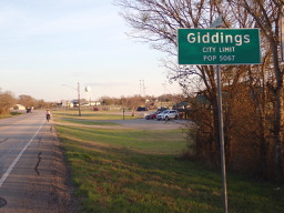
Austin to Giddings
Ruta ciclista en Rollingwood, Texas, Estados Unidos
- 113,7 km
- Distancia
- 492 m
- Ascenso
- 529 m
- Descenso
Austin - Circle to McKinney Falls State Park
Ruta ciclista en Rollingwood, Texas, Estados Unidos
- 40,3 km
- Distancia
- 360 m
- Ascenso
- 355 m
- Descenso
Descubre más rutas
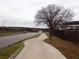
 Austin - Circle thru Lost Creek Blvd to Barton Creek and Costco
- Distancia
- 41,4 km
- Ascenso
- 572 m
- Descenso
- 572 m
- Ubicación
- Rollingwood, Texas, Estados Unidos
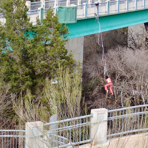
 Austin - Circle to MT Supermarket and Walnut Creek
- Distancia
- 49,2 km
- Ascenso
- 414 m
- Descenso
- 413 m
- Ubicación
- Rollingwood, Texas, Estados Unidos
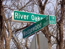
 Austin - Circle Southeast to Richard Moya Park
- Distancia
- 47,2 km
- Ascenso
- 288 m
- Descenso
- 288 m
- Ubicación
- Rollingwood, Texas, Estados Unidos
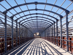
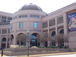 Austin - Circle to Northeast
- Distancia
- 36,4 km
- Ascenso
- 270 m
- Descenso
- 276 m
- Ubicación
- Rollingwood, Texas, Estados Unidos
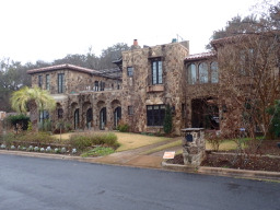 Austin - Random Riding in Neighborhood North of MUNY Golf Course
- Distancia
- 18,7 km
- Ascenso
- 290 m
- Descenso
- 290 m
- Ubicación
- Rollingwood, Texas, Estados Unidos
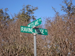 Austin - Circle to Steiner Ranch
- Distancia
- 56,1 km
- Ascenso
- 757 m
- Descenso
- 758 m
- Ubicación
- Rollingwood, Texas, Estados Unidos
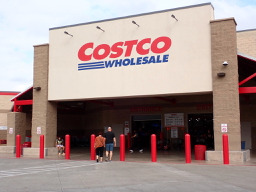 Austin - Circle to MT Supermarket and Costco
- Distancia
- 50,5 km
- Ascenso
- 428 m
- Descenso
- 428 m
- Ubicación
- Rollingwood, Texas, Estados Unidos
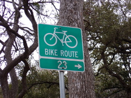 Austin - Circle to North Via Camp Mabry, Bike Rt 23, and Shoal Creek Blvd
- Distancia
- 39,5 km
- Ascenso
- 515 m
- Descenso
- 513 m
- Ubicación
- Rollingwood, Texas, Estados Unidos
Rutas desde Rollingwood
Paseo rápido en bici de
De Rollingwood a Austin
Rutas hacia Rollingwood
Paseo rápido en bici de
De Austin a Rollingwood


