


Acadia-Shenadoah on the East Coast Greenway
- 1915,7 km
- 1619 m
- 1003 m
- Tremont, Maine, Estados Unidos

Encuentra la ruta en bicicleta ideal para ti en Tremont, donde tenemos 23 rutas ciclistas para explorar.
Distancia registrada
Rutas ciclistas
Población
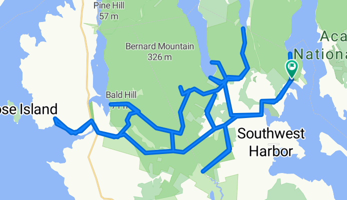
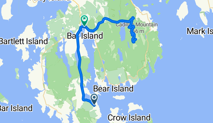
Ruta ciclista en Tremont, Maine, Estados Unidos
Ruta ciclista en Tremont, Maine, Estados Unidos
Ruta ciclista en Tremont, Maine, Estados Unidos
Ruta ciclista en Tremont, Maine, Estados Unidos


