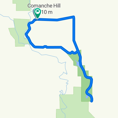
Roswell en bici
Descubre un mapa con 58 rutas y senderos en bici cerca de Roswell, creados por nuestra comunidad.
Retrato de la región
Conoce Roswell
Encuentra la ruta en bicicleta ideal para ti en Roswell, donde tenemos 58 rutas ciclistas para explorar. La mayoría de la gente sale en bicicleta por aquí en el mes de mayo.
6474 km
Distancia registrada
58
Rutas ciclistas
48.366
Población
De nuestra comunidad
Las mejores rutas en bici en y alrededor de Roswell
Route to 705 East Linda Vista Boulevard, Roswell, NM 88201
Ruta ciclista en Roswell, New Mexico, United States of America
- 22,8 km
- Distancia
- 60 m
- Ascenso
- 59 m
- Descenso
Roswelll NM to Silver City NM
Ruta ciclista en Roswell, New Mexico, United States of America
On and off road bike route from Roswell to Silver City on a more northerly route. Following the Rio Grande River as close as possible to Elephante Butte Reservoir.
- 541,4 km
- Distancia
- 2878 m
- Ascenso
- 2163 m
- Descenso
Roswell NM to Silver City NM
Ruta ciclista en Roswell, New Mexico, United States of America
On and off road bike route from Roswell to Silver City on a more northerly route. Following the Rio Grande River as close as possible to Elephante Butte Reservoir.
This route is still in the planning stages, and I'm seeking feedback about trail conditions. Especially concerning the off pavement portion from San Antonio NM to Elephant Butte Lake.
It appears that the delta north of elephant butte lake may be hard to navigate with the load I am carrying. Using the surrounding mountain peaks as visual aids I should be able to diverge west of the Rio Grande. Aim towards Penasco peak as the Fra Cristobel Range grows larger. Follow the trails that meander southward across the various arroyos before they become canyons.
- 546 km
- Distancia
- 3049 m
- Ascenso
- 2334 m
- Descenso
Roswell NM to Silver City NM Onroad
Ruta ciclista en Roswell, New Mexico, United States of America
On road route from Roswell to Silver City for printer friendliness.
- 538 km
- Distancia
- 2938 m
- Ascenso
- 2211 m
- Descenso
Descubre más rutas
- ZAES/STARBUCKS/NMMI
- Distancia
- 11,2 km
- Ascenso
- 26 m
- Descenso
- 31 m
- Ubicación
- Roswell, New Mexico, United States of America
- The bottomless route
- Distancia
- 64 km
- Ascenso
- 420 m
- Descenso
- 422 m
- Ubicación
- Roswell, New Mexico, United States of America
- Peaceful escapade
- Distancia
- 29,6 km
- Ascenso
- 81 m
- Descenso
- 78 m
- Ubicación
- Roswell, New Mexico, United States of America
- Roswell circuit
- Distancia
- 44 km
- Ascenso
- 82 m
- Descenso
- 80 m
- Ubicación
- Roswell, New Mexico, United States of America
- Roswell western circuit
- Distancia
- 27,5 km
- Ascenso
- 39 m
- Descenso
- 40 m
- Ubicación
- Roswell, New Mexico, United States of America
- Over the hump
- Distancia
- 174,9 km
- Ascenso
- 1784 m
- Descenso
- 1525 m
- Ubicación
- Roswell, New Mexico, United States of America
- Highs and lows
- Distancia
- 19,1 km
- Ascenso
- 41 m
- Descenso
- 43 m
- Ubicación
- Roswell, New Mexico, United States of America
- The boot ride
- Distancia
- 21,4 km
- Ascenso
- 52 m
- Descenso
- 52 m
- Ubicación
- Roswell, New Mexico, United States of America