Hope en bici
Descubre un mapa con 55 rutas y senderos en bici cerca de Hope, creados por nuestra comunidad.
Retrato de la región
Conoce Hope
Encuentra la ruta en bicicleta ideal para ti en Hope, donde tenemos 55 rutas ciclistas para explorar. La mayoría de la gente sale en bicicleta por aquí en el mes de junio.
7377 km
Distancia registrada
55
Rutas ciclistas
4598
Población
Comunidad
Usuarios más activos en Hope
De nuestra comunidad
Las mejores rutas en bici en y alrededor de Hope
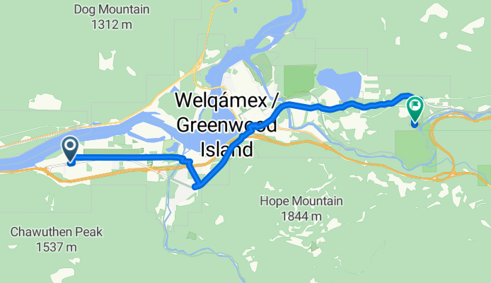
Route to Othello Tunnels
Ruta ciclista en Hope, Columbia Británica, Canadá
- 14,3 km
- Distancia
- 395 m
- Ascenso
- 245 m
- Descenso
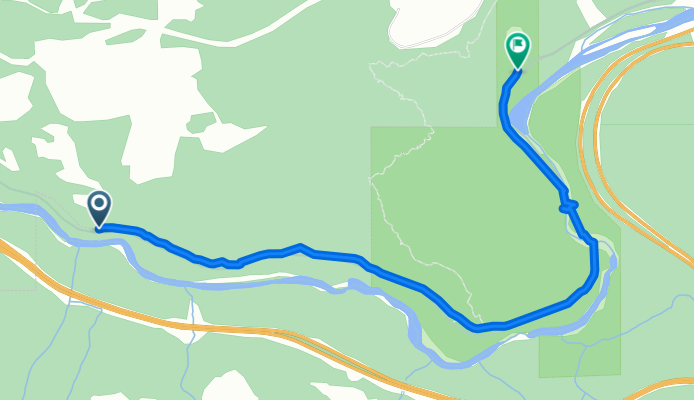
othello ttunnels one way
Ruta ciclista en Hope, Columbia Británica, Canadá
- 4,5 km
- Distancia
- 189 m
- Ascenso
- 129 m
- Descenso
Kettle Valley Rail Trail: Hope to Chilliwack
Ruta ciclista en Hope, Columbia Británica, Canadá
- 134,3 km
- Distancia
- 3332 m
- Ascenso
- 3281 m
- Descenso
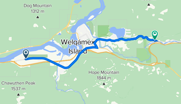
62210 Flood Hope Rd, Hope à 67354–67498 Tunnels Rd, Fraser Valley H
Ruta ciclista en Hope, Columbia Británica, Canadá
- 13,1 km
- Distancia
- 395 m
- Ascenso
- 256 m
- Descenso
Descubre más rutas
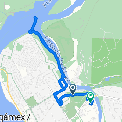 740 River Parade, Hope to 800 Kawkawa Lake Rd, Hope
- Distancia
- 6,4 km
- Ascenso
- 50 m
- Descenso
- 49 m
- Ubicación
- Hope, Columbia Británica, Canadá
 Hope to Manning Park
- Distancia
- 66,5 km
- Ascenso
- 1546 m
- Descenso
- 376 m
- Ubicación
- Hope, Columbia Británica, Canadá
 Home to Othello Tunnels
- Distancia
- 18,2 km
- Ascenso
- 226 m
- Descenso
- 226 m
- Ubicación
- Hope, Columbia Británica, Canadá
 Hope to Kamloops
- Distancia
- 192 km
- Ascenso
- 3262 m
- Descenso
- 2584 m
- Ubicación
- Hope, Columbia Británica, Canadá
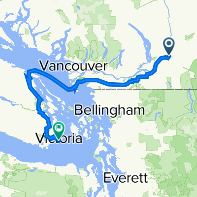 End of Cross Canada Ride
- Distancia
- 373,8 km
- Ascenso
- 2781 m
- Descenso
- 2806 m
- Ubicación
- Hope, Columbia Británica, Canadá
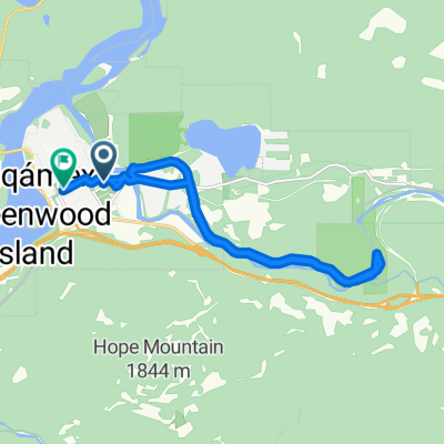 Easy ride in Hope
- Distancia
- 14,5 km
- Ascenso
- 633 m
- Descenso
- 640 m
- Ubicación
- Hope, Columbia Británica, Canadá
 TBC day 11. Hope to Vancouver
- Distancia
- 162,7 km
- Ascenso
- 732 m
- Descenso
- 726 m
- Ubicación
- Hope, Columbia Británica, Canadá
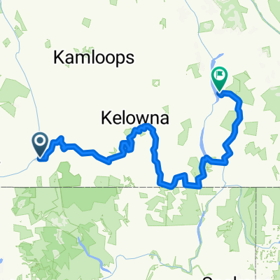 Kettle Valley Rail Trail Route
- Distancia
- 774,9 km
- Ascenso
- 5553 m
- Descenso
- 5032 m
- Ubicación
- Hope, Columbia Británica, Canadá


