


Пшк 2012-08-18 Микулич-Космач 40км
- 39,8 km
- 1067 m
- 1040 m
- Tatariv, Óblast de Ivano-Frankivsk, Ucrania

Descubre un mapa con 76 rutas y senderos en bici cerca de Tatariv, creados por nuestra comunidad.
Retrato de la región
Encuentra la ruta en bicicleta ideal para ti en Tatariv, donde tenemos 76 rutas ciclistas para explorar. La mayoría de la gente sale en bicicleta por aquí en los meses de junio y agosto.
3419 km
Distancia registrada
76
Rutas ciclistas
1508
Población
De nuestra comunidad
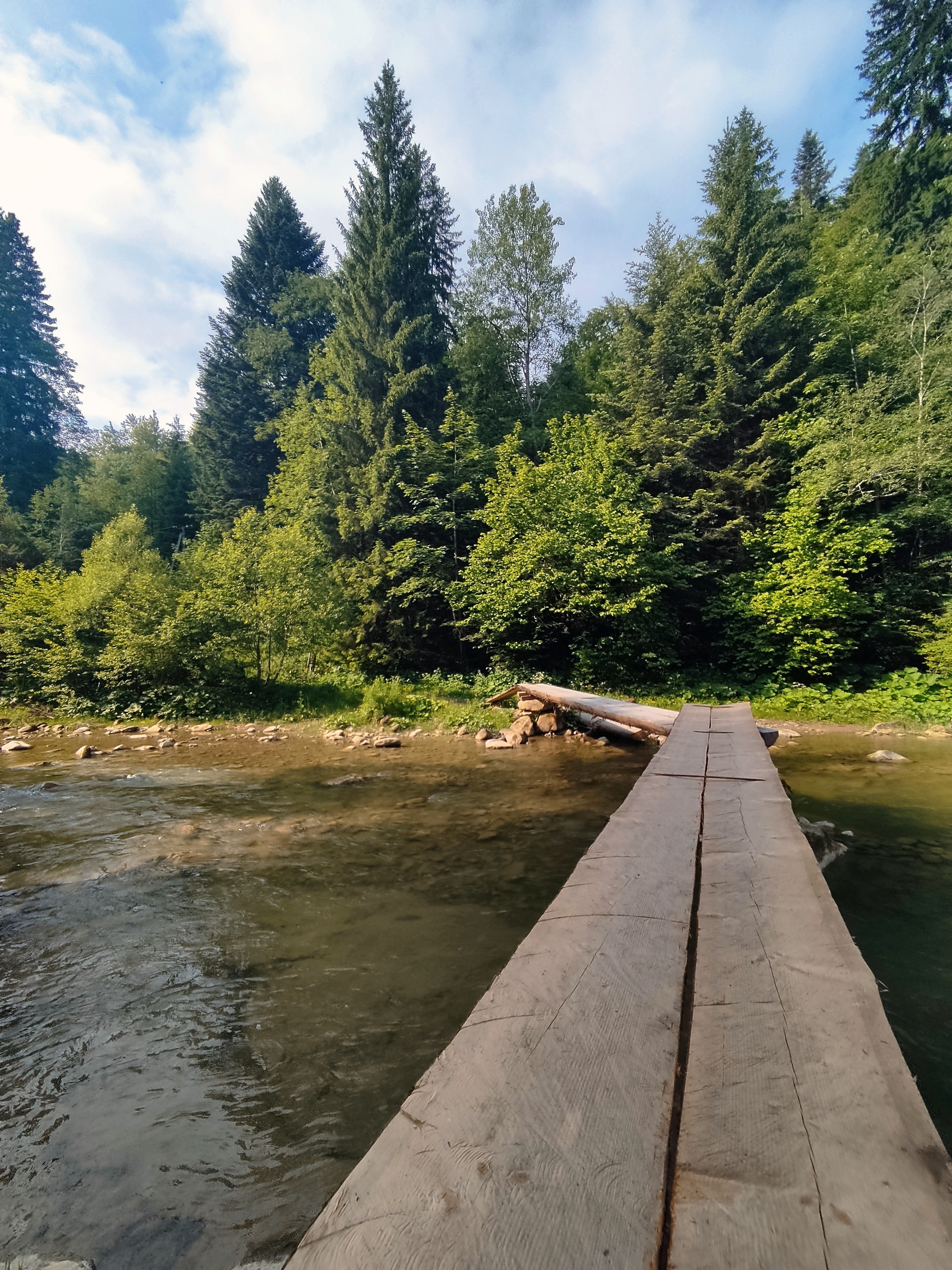
Ruta ciclista en Tatariv, Óblast de Ivano-Frankivsk, Ucrania
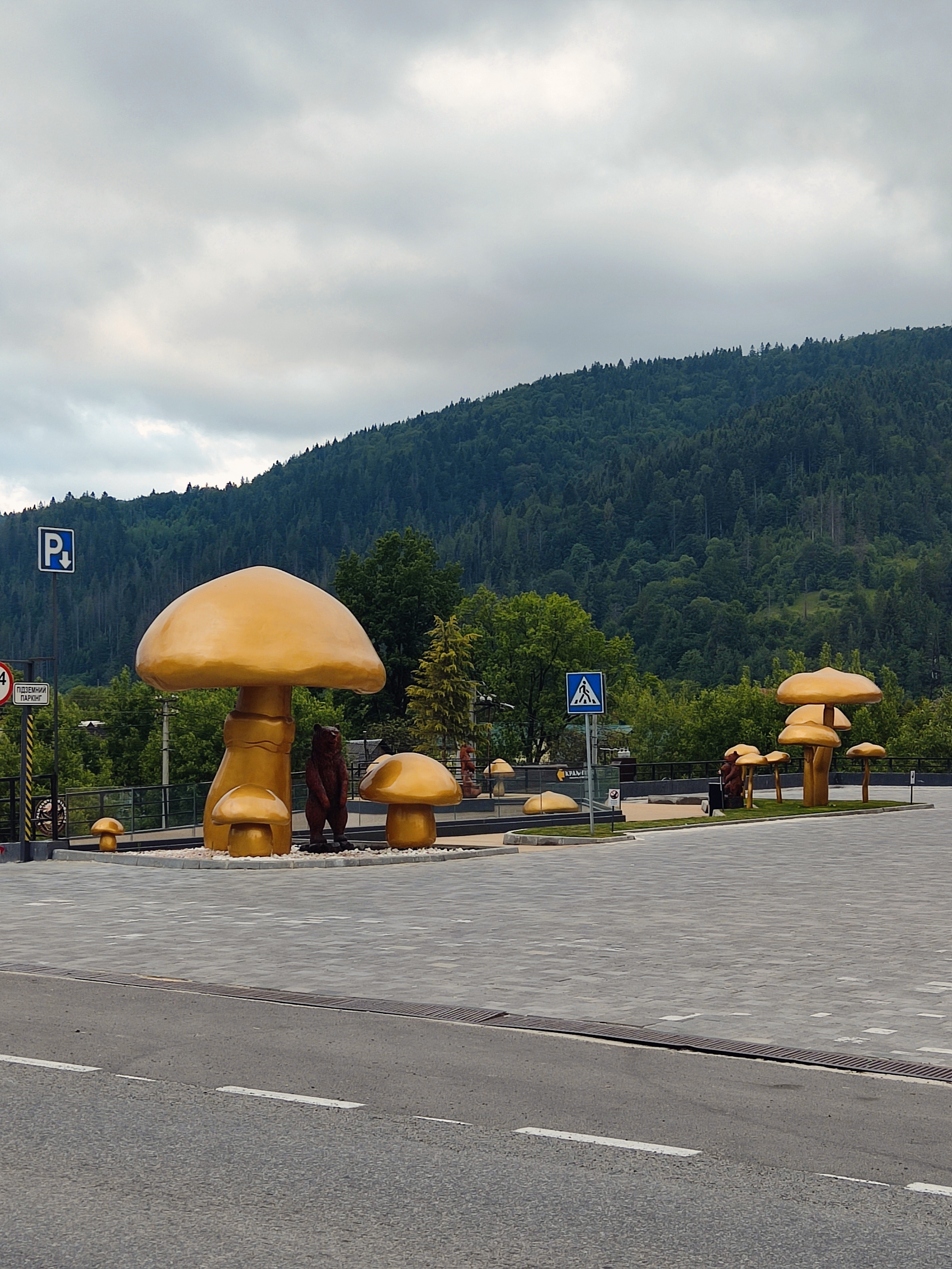
Ruta ciclista en Tatariv, Óblast de Ivano-Frankivsk, Ucrania
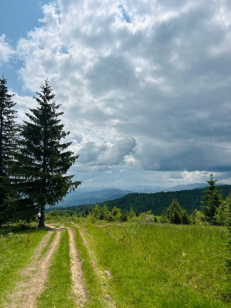
Ruta ciclista en Tatariv, Óblast de Ivano-Frankivsk, Ucrania


Ruta ciclista en Tatariv, Óblast de Ivano-Frankivsk, Ucrania


