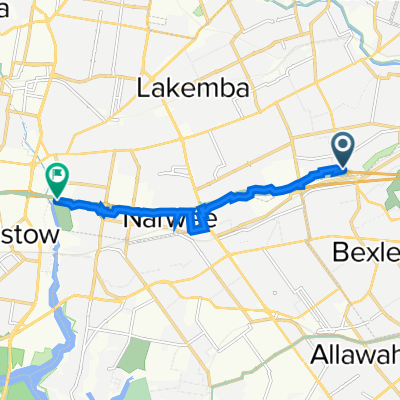


Bexley North - Home
- 4,9 km
- 57 m
- 28 m
- Bexley North, Nueva Gales del Sur, Australia

Descubre un mapa con 56 rutas y senderos en bici cerca de Bexley North, creados por nuestra comunidad.
Retrato de la región
Encuentra la ruta en bicicleta ideal para ti en Bexley North, donde tenemos 56 rutas ciclistas para explorar.
1673 km
Distancia registrada
56
Rutas ciclistas
3999
Población
Comunidad
De nuestra comunidad
Ruta ciclista en Bexley North, Nueva Gales del Sur, Australia
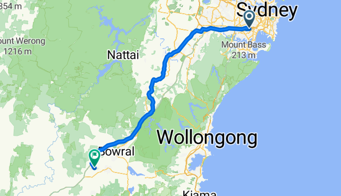
Ruta ciclista en Bexley North, Nueva Gales del Sur, Australia
Ruta ciclista en Bexley North, Nueva Gales del Sur, Australia
Ruta ciclista en Bexley North, Nueva Gales del Sur, Australia