

Arlington to Seattle
Una ruta en bici que comienza en Smokey Point, Washington, Estados Unidos.
Visión General
Sobre esta ruta
Una alta proporción de esta ruta estaba en caminos para bicicletas pavimentados. El Centennial Trail desde Arlington hasta Snohomish fue maravilloso y permitió una conducción rápida. El North Creek Trail, en cambio, serpenteaba y sería genial para cualquiera que no tenga prisa. Y, por supuesto, el Burke-Gilman Trail también es maravilloso y rápido.
Las carreteras iniciales al suroeste de Snohomish tenían demasiados coches y sin arcén hasta que llegamos bien a Seattle Hill Road. Desde que comenzó el carril para bicicletas hasta que giramos en el Bothell-Everett Highway, Seattle Hill Road fue excelente. Sin embargo, para llegar a Sydney Hill Road, hubo no solo varios millas de conducción sin arcén, sino también una corta pero muy empinada subida que también estaba sin arcén. Detuvimos el tráfico mientras subíamos a paso lento. Si volvemos a andar en bicicleta por Snohomish, tenemos que ver qué mejor ruta podría haber para evitar estas carreteras concurridas sin arcén y la empinada subida sin arcén.
El Bothell-Everett Highway tenía un buen ritmo con un carril para bicicletas bastante bueno, pero estaba muy concurrido y ruidoso.
- 6 h 56 min
- Duración
- 97,6 km
- Distancia
- 1514 m
- Ascenso
- 1459 m
- Descenso
- 14,1 km/h
- Velocidad Media
- 145 m
- Altitud máxima

Fotos de la ruta


Continuar con Bikemap
Usa, edita o descarga esta ruta en bici
¿Te gustaría recorrer Arlington to Seattle o personalizarla para tu propio viaje? Esto es lo que puedes hacer con esta ruta de Bikemap:
Funciones gratuitas
- Guarda esta ruta como favorita o en una colección
- Copia y planifica tu propia versión de esta ruta
- Divídelo en etapas para crear una excursión de varios días
- Sincroniza tu ruta con Garmin o Wahoo
Funciones Premium
Prueba gratuita de 3 días o pago único. Más información sobre Bikemap Premium.
- Navega esta ruta en iOS y Android
- Exporta un archivo GPX / KML de esta ruta
- Crea tu impresión personalizada (pruébala gratis)
- Descarga esta ruta para la navegación sin conexión
Descubre más funciones Premium.
Consigue Bikemap PremiumDe nuestra comunidad
Smokey Point: Otras rutas populares que empiezan aquí
 15405 67th Ave NE, Arlington to 15405 67th Ave NE, Arlington
- Distancia
- 13 km
- Ascenso
- 118 m
- Descenso
- 116 m
- Ubicación
- Smokey Point, Washington, Estados Unidos
 Arlington to Seattle
- Distancia
- 97,6 km
- Ascenso
- 1514 m
- Descenso
- 1459 m
- Ubicación
- Smokey Point, Washington, Estados Unidos
 Easy ride in Arlington
- Distancia
- 40,9 km
- Ascenso
- 196 m
- Descenso
- 195 m
- Ubicación
- Smokey Point, Washington, Estados Unidos
 15291–15359 67th Ave NE, Arlington to 15405 67th Ave NE, Arlington
- Distancia
- 5,2 km
- Ascenso
- 23 m
- Descenso
- 23 m
- Ubicación
- Smokey Point, Washington, Estados Unidos
 15405 67th Ave NE, Arlington to 15405 67th Ave NE, Arlington
- Distancia
- 11,1 km
- Ascenso
- 65 m
- Descenso
- 66 m
- Ubicación
- Smokey Point, Washington, Estados Unidos
 hdjdj
hdjdj- Distancia
- 29,1 km
- Ascenso
- 653 m
- Descenso
- 634 m
- Ubicación
- Smokey Point, Washington, Estados Unidos
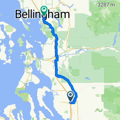 Smokey Point Dr, Arlington to Lakeway Dr, Bellingham
- Distancia
- 92,3 km
- Ascenso
- 964 m
- Descenso
- 952 m
- Ubicación
- Smokey Point, Washington, Estados Unidos
 15405 67th Ave NE, Arlington to 15405 67th Ave NE, Arlington
- Distancia
- 10,9 km
- Ascenso
- 69 m
- Descenso
- 70 m
- Ubicación
- Smokey Point, Washington, Estados Unidos
Ábrela en la app