Austin - Circle to Northwest
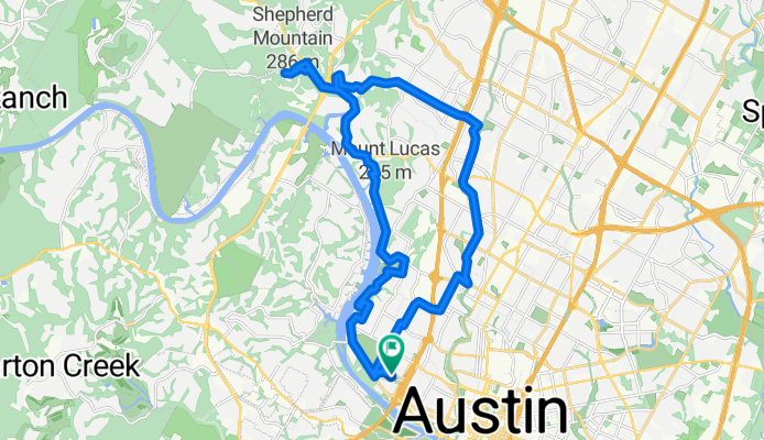
Una ruta en bici que comienza en Rollingwood, Texas, Estados Unidos.
Visión General
Sobre esta ruta
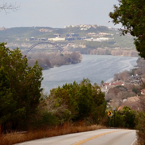
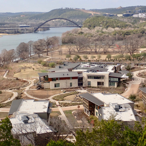
Fue un paseo interesante, principalmente a través de varios vecindarios. Hubo algunas subidas y bajadas bastante empinadas.
Quizás dos o tres millas fueron por la FM2222. Esta carretera tenía tráfico moderado y poco o ningún arcén hasta llegar a la North Capital of Texas Highway (360). Al oeste de la 360, había un arcén ancho y agradable.
La City Park Road tenía un carril bici en el lado de subida durante el tiempo que estuve en ella. Esa parte era bastante empinada. Aunque quería llegar hasta el final de esta calle, que entiendo está en el Emma Long Metropolitan Park, tuve que dar la vuelta donde lo hice debido a limitaciones de tiempo en mi paseo.
La Far West Blvd era bastante empinada al principio, pero tenía un carril bici excelente en esa zona. Además, había casi nada de tráfico en esta parte de la carretera. Después de pasar al este de Mesa Drive, hay más tráfico, pero un carril bici excelente o un carril para girar a la derecha donde se puede circular.
El Shoal Creek Blvd tiene carriles bici excelentes.
- 2 h 17 min
- Duración
- 33,8 km
- Distancia
- 514 m
- Ascenso
- 506 m
- Descenso
- 14,8 km/h
- Velocidad Media
- 274 m
- Altitud máxima
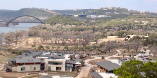
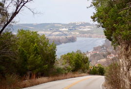
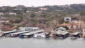
Fotos de la ruta
Calidad de la ruta
Tipos de vía y superficies a lo largo de la ruta
Tipos de vía
Carretera
17,9 km
(53 %)
Carretera tranquila
7,1 km
(21 %)
Superficies
Pavimentado
29 km
(86 %)
Asfalto
28,4 km
(84 %)
Hormigón
0,7 km
(2 %)
Sin definir
4,7 km
(14 %)
Continuar con Bikemap
Usa, edita o descarga esta ruta en bici
¿Te gustaría recorrer Austin - Circle to Northwest o personalizarla para tu propio viaje? Esto es lo que puedes hacer con esta ruta de Bikemap:
Funciones gratuitas
- Guarda esta ruta como favorita o en una colección
- Copia y planifica tu propia versión de esta ruta
- Sincroniza tu ruta con Garmin o Wahoo
Funciones Premium
Prueba gratuita de 3 días o pago único. Más información sobre Bikemap Premium.
- Navega esta ruta en iOS y Android
- Exporta un archivo GPX / KML de esta ruta
- Crea tu impresión personalizada (pruébala gratis)
- Descarga esta ruta para la navegación sin conexión
Descubre más funciones Premium.
Consigue Bikemap PremiumDe nuestra comunidad
Rollingwood: Otras rutas populares que empiezan aquí
 Austin - Circle to Bee Cave
- Distancia
- 44,6 km
- Ascenso
- 562 m
- Descenso
- 564 m
- Ubicación
- Rollingwood, Texas, Estados Unidos
 Austin - Random Riding in Neighborhood North of MUNY Golf Course
- Distancia
- 18,7 km
- Ascenso
- 290 m
- Descenso
- 290 m
- Ubicación
- Rollingwood, Texas, Estados Unidos
 Austin - Circle to Steiner Ranch
- Distancia
- 56,1 km
- Ascenso
- 757 m
- Descenso
- 758 m
- Ubicación
- Rollingwood, Texas, Estados Unidos
 Buda loop - 37 mi
- Distancia
- 60,2 km
- Ascenso
- 212 m
- Descenso
- 213 m
- Ubicación
- Rollingwood, Texas, Estados Unidos
 Austin - Circle to MT Supermarket and Costco
- Distancia
- 50,5 km
- Ascenso
- 428 m
- Descenso
- 428 m
- Ubicación
- Rollingwood, Texas, Estados Unidos
 Austin - Circle to North Via Camp Mabry, Bike Rt 23, and Shoal Creek Blvd
- Distancia
- 39,5 km
- Ascenso
- 515 m
- Descenso
- 513 m
- Ubicación
- Rollingwood, Texas, Estados Unidos
 Austin - Circle to MT Supermarket and Walnut Creek
- Distancia
- 49,2 km
- Ascenso
- 414 m
- Descenso
- 413 m
- Ubicación
- Rollingwood, Texas, Estados Unidos
 Austin - Circle to Northeast
- Distancia
- 36,4 km
- Ascenso
- 270 m
- Descenso
- 276 m
- Ubicación
- Rollingwood, Texas, Estados Unidos
Ábrela en la app

