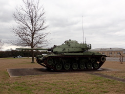
Austin - Circle to North Via Camp Mabry, Bike Rt 23, and Shoal Creek Blvd
Una ruta en bici que comienza en Rollingwood, Texas, Estados Unidos.
Visión General
Sobre esta ruta
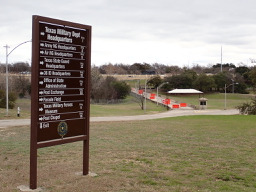
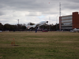
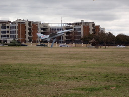
Este circuito que incluía Camp Mabry, la ruta en bicicleta Rt 23 y Shoal Creek Blvd fue excelente. La parte a lo largo de la primera sección de la Rt 23 y las calles paralelas tenía algunas subidas y bajadas muy empinadas. Camp Mabry era bastante pequeño, así que no había mucho para andar en bicicleta dentro de él. Sin embargo, si alguien quiere aparcar la bici y correr, hay una pista de atletismo realmente buena en Camp.
Como Burnet Road es una carretera con mucho tráfico, aunque cuenta con un buen carril bici, hubiera sido mejor no usar Burnet Road y girar hacia Shoal Creek Blvd antes.
- 2 h 47 min
- Duración
- 39,5 km
- Distancia
- 515 m
- Ascenso
- 513 m
- Descenso
- 14,1 km/h
- Velocidad Media
- 278 m
- Altitud máxima
Fotos de la ruta
Continuar con Bikemap
Usa, edita o descarga esta ruta en bici
¿Te gustaría recorrer Austin - Circle to North Via Camp Mabry, Bike Rt 23, and Shoal Creek Blvd o personalizarla para tu propio viaje? Esto es lo que puedes hacer con esta ruta de Bikemap:
Funciones gratuitas
- Guarda esta ruta como favorita o en una colección
- Copia y planifica tu propia versión de esta ruta
- Sincroniza tu ruta con Garmin o Wahoo
Funciones Premium
Prueba gratuita de 3 días o pago único. Más información sobre Bikemap Premium.
- Navega esta ruta en iOS y Android
- Exporta un archivo GPX / KML de esta ruta
- Crea tu impresión personalizada (pruébala gratis)
- Descarga esta ruta para la navegación sin conexión
Descubre más funciones Premium.
Consigue Bikemap PremiumDe nuestra comunidad
Rollingwood: Otras rutas populares que empiezan aquí
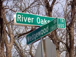 Austin - Circle to MT Supermarket and Walnut Creek
- Distancia
- 49,2 km
- Ascenso
- 414 m
- Descenso
- 413 m
- Ubicación
- Rollingwood, Texas, Estados Unidos
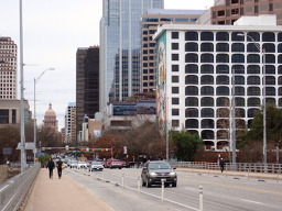 Austin - Circle to McKinney Falls State Park
- Distancia
- 40,3 km
- Ascenso
- 360 m
- Descenso
- 355 m
- Ubicación
- Rollingwood, Texas, Estados Unidos
 Austin - Circle to Bee Cave
- Distancia
- 44,6 km
- Ascenso
- 562 m
- Descenso
- 564 m
- Ubicación
- Rollingwood, Texas, Estados Unidos
 Buda loop - 37 mi
- Distancia
- 60,2 km
- Ascenso
- 212 m
- Descenso
- 213 m
- Ubicación
- Rollingwood, Texas, Estados Unidos
 Austin - Random Riding in Neighborhood North of MUNY Golf Course
- Distancia
- 18,7 km
- Ascenso
- 290 m
- Descenso
- 290 m
- Ubicación
- Rollingwood, Texas, Estados Unidos
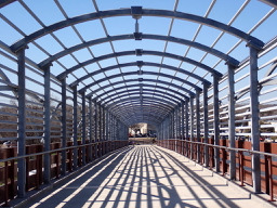 Austin - Circle Southeast to Richard Moya Park
- Distancia
- 47,2 km
- Ascenso
- 288 m
- Descenso
- 288 m
- Ubicación
- Rollingwood, Texas, Estados Unidos
 Austin - Circle to Northeast
- Distancia
- 36,4 km
- Ascenso
- 270 m
- Descenso
- 276 m
- Ubicación
- Rollingwood, Texas, Estados Unidos
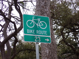 Austin - Circle to North Via Camp Mabry, Bike Rt 23, and Shoal Creek Blvd
- Distancia
- 39,5 km
- Ascenso
- 515 m
- Descenso
- 513 m
- Ubicación
- Rollingwood, Texas, Estados Unidos
Ábrela en la app


