
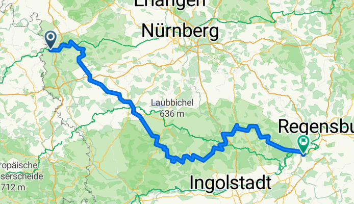
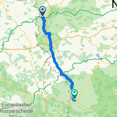
Tauber-Altmühl Cycle Route - Rothenburg ob der Tauber to Kelheim
Una ruta en bici que comienza en Rothenburg ob der Tauber, Baviera, Alemania.
Visión General
Sobre esta ruta
Más sobre el Tauber-Altmühl Radweg:
https://www.cyclingthread.com/franconia-and-tauber-altmuhl-radweg-perfect-german-getaway
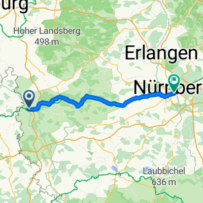
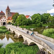
El Tauber-Altmühl Radweg en Franconia es una de las rutas ciclistas más fascinantes de Alemania, que recorre los valles de los ríos Tauber y Altmühl y los paisajes rocosos del Jura franconio. Su atmósfera romántica se ve realzada por pueblos medievales, destacando Rothenburg ob der Tauber como una de las principales atracciones del país. La ruta comienza en Wertheim, pasa por Rothenburg y, tras cruzar la divisoria de aguas europea, sigue la Altmühl hasta Kelheim, donde el río desemboca en el Danubio. El tramo de la Tauber tiene unos 100 km, mientras que la Altmühl añade alrededor de 250 km, ofreciendo experiencias variadas. Los firmes van desde asfalto liso hasta caminos de grava que encajan bien en el paisaje de la Jura, aunque resultan menos cómodos. A lo largo del recorrido los ciclistas pueden ver formaciones geológicas como el Burgstein, puentes históricos en Ornbau y el Museo del Jura en la fortaleza Willibaldsburg de Eichstätt. En conjunto, la ruta combina paisaje, historia y buena infraestructura, lo que la convierte en una excelente opción para un fin de semana largo o unas vacaciones ciclistas más largas en Franconia.
- 15 h 43 min
- Duración
- 252,2 km
- Distancia
- 1118 m
- Ascenso
- 1200 m
- Descenso
- 16 km/h
- Velocidad Media
- 510 m
- Altitud máxima

Fotos de la ruta


Continuar con Bikemap
Usa, edita o descarga esta ruta en bici
¿Te gustaría recorrer Tauber-Altmühl Cycle Route - Rothenburg ob der Tauber to Kelheim o personalizarla para tu propio viaje? Esto es lo que puedes hacer con esta ruta de Bikemap:
Funciones gratuitas
- Guarda esta ruta como favorita o en una colección
- Copia y planifica tu propia versión de esta ruta
- Divídelo en etapas para crear una excursión de varios días
- Sincroniza tu ruta con Garmin o Wahoo
Funciones Premium
Prueba gratuita de 3 días o pago único. Más información sobre Bikemap Premium.
- Navega esta ruta en iOS y Android
- Exporta un archivo GPX / KML de esta ruta
- Crea tu impresión personalizada (pruébala gratis)
- Descarga esta ruta para la navegación sin conexión
Descubre más funciones Premium.
Consigue Bikemap PremiumDe nuestra comunidad
Rothenburg ob der Tauber: Otras rutas populares que empiezan aquí
 altmühltal
- Distancia
- 137,4 km
- Ascenso
- 496 m
- Descenso
- 540 m
- Ubicación
- Rothenburg ob der Tauber, Baviera, Alemania
 Sat. 16th
- Distancia
- 81,5 km
- Ascenso
- 593 m
- Descenso
- 701 m
- Ubicación
- Rothenburg ob der Tauber, Baviera, Alemania
 Tranquillo: Cyclable de l’Altmühl classique
- Distancia
- 222,6 km
- Ascenso
- 764 m
- Descenso
- 778 m
- Ubicación
- Rothenburg ob der Tauber, Baviera, Alemania
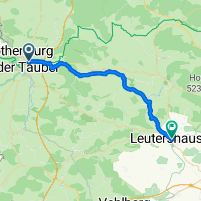
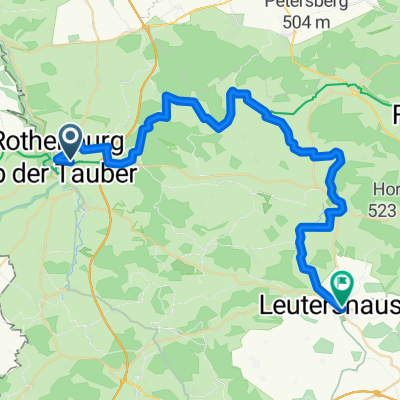 35_Rothenburg ob der Tauber – Leutershausen
- Distancia
- 41,9 km
- Ascenso
- 171 m
- Descenso
- 168 m
- Ubicación
- Rothenburg ob der Tauber, Baviera, Alemania
 Tauber-Altmühl Cycle Route - Rothenburg ob der Tauber to Kelheim
- Distancia
- 252,2 km
- Ascenso
- 1118 m
- Descenso
- 1200 m
- Ubicación
- Rothenburg ob der Tauber, Baviera, Alemania
 Rothenburg ob der Tauber nach Leutershausen
- Distancia
- 23,3 km
- Ascenso
- 214 m
- Descenso
- 211 m
- Ubicación
- Rothenburg ob der Tauber, Baviera, Alemania
 Rothenburg ob der Tauber - Nördlingen
- Distancia
- 79,2 km
- Ascenso
- 541 m
- Descenso
- 530 m
- Ubicación
- Rothenburg ob der Tauber, Baviera, Alemania
 Rothenburg-Tauberquelle
- Distancia
- 44,7 km
- Ascenso
- 278 m
- Descenso
- 278 m
- Ubicación
- Rothenburg ob der Tauber, Baviera, Alemania
Ábrela en la app