

Assault on Droop Mountain
Una ruta en bici que comienza en Marlinton, Virginia Occidental, Estados Unidos.
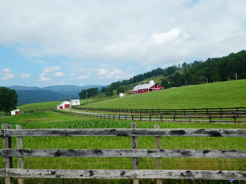
Visión General
Sobre esta ruta
Esta es una ruta que introduje para el fin de semana de otoño anual del club de ciclismo Mountain State Wheelers. Es un recorrido muy escénico, pero difícil.
Comenzar en el estacionamiento en la entrada del Beaver Creek Campground, Watoga State Park.
0.0 Inicio.
0.1 Derecha al salir del campamento.
0.6 Izquierda en Co. 21/4 para recorrer el parque. Comienza con una corta subida empinada y luego un largo descenso gradual hacia el río.
2.9 A la derecha en la oficina del lago/parque.
6.4 Derecha para continuar hacia Seebert.
7.1 Cruza el río y sigue por Co. 27 hacia U.S. 219. Subida empinada desde Seebert hacia US 219.
9.4 Izquierda en US 219
10.7 Derecha en Co 29, Lobelia Road
15.6 Recto para continuar en Co. 29. La carretera se estrecha. Comienza un empinado descenso en curvas con 2 giros en U. Presta atención a la grava en la carretera.<br />
21.6 A la izquierda en una aguda curva a la izquierda para continuar en Co. 29. La segunda subida de Droop Mountain se aproxima.
23.7 Izquierda en US 219 <br />
24.8 Segunda entrada al parque. Puedes tomarla para ir a la torre de observación donde hay una fuente de agua en el estacionamiento. Te has ganado la oportunidad de disfrutar de la vista.
Continúa en US 219 y comienza el empinado y retorcido descenso. Gira a Locust Creek Road antes de llegar al fondo.
26.3 Doble giro a la derecha en bajada.
29.4 Izquierda y un giro inmediato a la izquierda en Co. 31/9. El puente cubierto de Locust Creek está justo a la derecha en esta intersección.
31.4 Recto en Co. 31
35.1 Derecha en US 219 de regreso a Hillsboro.
36.3 Derecha en Co. 27 para regresar a Seebert.
38.6 Cruza de nuevo el río Greenbrier en Seebert.<br />
42.9 Izquierda en Co. 21/3 en la oficina del parque.
45.1 Derecha para volver a la entrada del campamento.<br />
45.7 Derecha al campamento
45.8 Fin<br />
- -:--
- Duración
- 73,7 km
- Distancia
- 1053 m
- Ascenso
- 1053 m
- Descenso
- ---
- Velocidad Media
- ---
- Altitud máxima
Calidad de la ruta
Tipos de vía y superficies a lo largo de la ruta
Tipos de vía
Carretera
37,6 km
(51 %)
Carretera tranquila
29,5 km
(40 %)
Sin definir
6,6 km
(9 %)
Superficies
Pavimentado
21,4 km
(29 %)
Asfalto
19,9 km
(27 %)
Pavimentado (sin definir)
1,5 km
(2 %)
Sin definir
52,3 km
(71 %)
Continuar con Bikemap
Usa, edita o descarga esta ruta en bici
¿Te gustaría recorrer Assault on Droop Mountain o personalizarla para tu propio viaje? Esto es lo que puedes hacer con esta ruta de Bikemap:
Funciones gratuitas
- Guarda esta ruta como favorita o en una colección
- Copia y planifica tu propia versión de esta ruta
- Sincroniza tu ruta con Garmin o Wahoo
Funciones Premium
Prueba gratuita de 3 días o pago único. Más información sobre Bikemap Premium.
- Navega esta ruta en iOS y Android
- Exporta un archivo GPX / KML de esta ruta
- Crea tu impresión personalizada (pruébala gratis)
- Descarga esta ruta para la navegación sin conexión
Descubre más funciones Premium.
Consigue Bikemap PremiumDe nuestra comunidad
Marlinton: Otras rutas populares que empiezan aquí
 Assault on Droop Mountain
- Distancia
- 73,7 km
- Ascenso
- 1053 m
- Descenso
- 1053 m
- Ubicación
- Marlinton, Virginia Occidental, Estados Unidos
 Marlinton Loop
- Distancia
- 63,5 km
- Ascenso
- 1209 m
- Descenso
- 1208 m
- Ubicación
- Marlinton, Virginia Occidental, Estados Unidos
 AML (over the ridge)
- Distancia
- 92,8 km
- Ascenso
- 1694 m
- Descenso
- 1649 m
- Ubicación
- Marlinton, Virginia Occidental, Estados Unidos
 Clover Lick - Green Bank
- Distancia
- 50,3 km
- Ascenso
- 546 m
- Descenso
- 546 m
- Ubicación
- Marlinton, Virginia Occidental, Estados Unidos
 Three-Mountain Ride CLONED FROM ROUTE 216425
- Distancia
- 110,7 km
- Ascenso
- 1909 m
- Descenso
- 1711 m
- Ubicación
- Marlinton, Virginia Occidental, Estados Unidos
 Hillsboro - Droop - Locust Creek Loop
- Distancia
- 28,6 km
- Ascenso
- 421 m
- Descenso
- 421 m
- Ubicación
- Marlinton, Virginia Occidental, Estados Unidos
 Assault on Droop Mountain - Mountain State Wheelers
- Distancia
- 74,8 km
- Ascenso
- 1016 m
- Descenso
- 1016 m
- Ubicación
- Marlinton, Virginia Occidental, Estados Unidos
 Upper Scenic Highway Map
- Distancia
- 39,7 km
- Ascenso
- 828 m
- Descenso
- 828 m
- Ubicación
- Marlinton, Virginia Occidental, Estados Unidos
Ábrela en la app