milanvihar
- 2 km
- 47 m
- 16 m
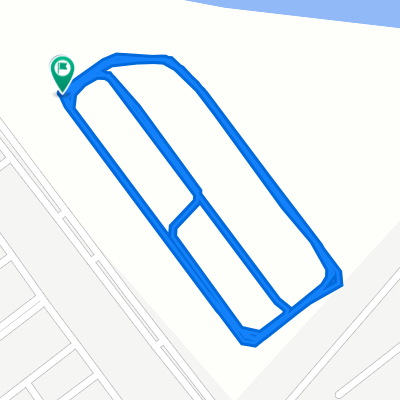
- Morādābād, Uttar Pradesh, India
Una ruta en bici que comienza en Morādābād, Uttar Pradesh, India.
Visión General
El Clash of Nations lleva el World Tour a la India para una dura carrera que finaliza en el Himalaya sur. Sin embargo, antes de que el pelotón alcance la cordillera más alta del mundo, deberán atravesar una gran parte del norte de la India. La batalla comienza en Moradabad, una ciudad de casi un millón de habitantes responsable del 85 % de las exportaciones de metalurgia del país.
Hacia el noreste, pasando por Tanda, Bazpur, hasta llegar a Kaladhungi, la carretera comienza a ascender lenta pero seguramente mientras las imponentes cumbres del Himalaya emergen a lo lejos. En el Museo Jim Corbett, el pelotón toma un giro cerrado a la izquierda y empieza la subida absolutamente brutal hacia Nainital. Esta carretera ondulada nunca alcanza una pendiente pronunciada, pero 30 kilómetros y un ascenso de casi 1500 metros harán que el pelotón ansíe una sección de bajada.
En Nainital, construida alrededor del famoso lago Nainital, los corredores giran a la izquierda hacia la vuelta local de 37 kilómetros que deberán completar tres veces. Aunque la sección de bajada es relativamente fácil, la subida de la vuelta no lo es. Especialmente los 500 metros en la sección Devidhura, con pendientes máximas de hasta el 22 %, garantizan que solo los mejores escaladores tengan oportunidad de victoria. La línea de meta está situada en Mall Road, con vista al lago Nainital. Todo un espectáculo para los espectadores, pero probablemente no en la mente de los ciclistas que llegan a la meta.
creado hace 11 años
Continuar con Bikemap
¿Te gustaría recorrer CoN Delhi o personalizarla para tu propio viaje? Esto es lo que puedes hacer con esta ruta de Bikemap:
Prueba gratuita de 3 días o pago único. Más información sobre Bikemap Premium.
Descubre más funciones Premium.
Consigue Bikemap PremiumDe nuestra comunidad
Ábrela en la app