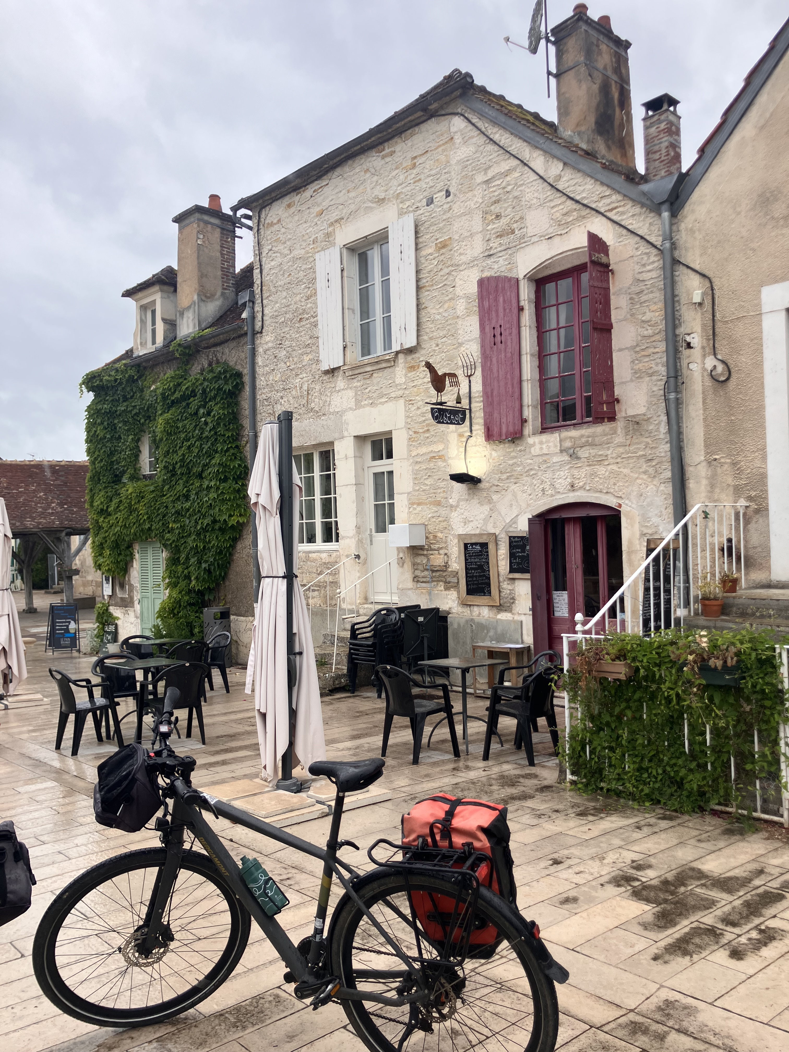
Camino 2015 08b Tonnerre nach Auxerre
Una ruta en bici que comienza en Tonnerre, Borgoña-Franco Condado, Francia.
Visión General
Sobre esta ruta
<table border="0" cellpadding="0" cellspacing="0" style="width:232px;" width="232"> <colgroup> <col /> <col /> <col /> <col /> <col /> </colgroup> <tbody> <tr height="20"> <td height="20" style="height:20px;width:34px;"> 5,0</td> <td style="width:34px;"> 5,0</td> <td colspan="2" style="width:98px;"> Vézinnes</td> <td style="width:64px;"> </td> </tr> <tr height="20"> <td height="20" style="height:20px;width:34px;"> 8,0</td> <td style="width:34px;"> 3,0</td> <td> Roffey</td> <td> </td> <td> </td> </tr> <tr height="20"> <td height="20" style="height:20px;width:34px;"> 16,0</td> <td style="width:34px;"> 8,0</td> <td colspan="3"> Villiers-Vineux</td> </tr> <tr height="20"> <td height="20" style="height:20px;width:34px;"> 20,0</td> <td style="width:34px;"> 4,0</td> <td colspan="2"> Jaulges</td> <td> </td> </tr> <tr height="20"> <td height="20" style="height:20px;width:34px;"> 22,0</td> <td style="width:34px;"> 2,0</td> <td> Chéu</td> <td> </td> <td> </td> </tr> <tr height="20"> <td height="20" style="height:20px;width:34px;"> 26,0</td> <td style="width:34px;"> 4,0</td> <td colspan="2"> Vergigny</td> <td> </td> </tr> <tr height="20"> <td height="20" style="height:20px;width:34px;"> 30,0</td> <td style="width:34px;"> 4,0</td> <td colspan="2"> Bouilly</td> <td> </td> </tr> <tr height="20"> <td height="20" style="height:20px;width:34px;"> 35,0</td> <td style="width:34px;"> 5,0</td> <td colspan="3"> Brienon-sur-Armancon</td> </tr> <tr height="20"> <td height="20" style="height:20px;width:34px;"> 38,0</td> <td style="width:34px;"> 3,0</td> <td> Esnon</td> <td> </td> <td> </td> </tr> <tr height="20"> <td height="20" style="height:20px;width:34px;"> 42,0</td> <td style="width:34px;"> 4,0</td> <td colspan="2"> Migennes</td> <td> </td> </tr> <tr height="20"> <td height="20" style="height:20px;width:34px;"> 44,0</td> <td style="width:34px;"> 2,0</td> <td> Cheny</td> <td> </td> <td> </td> </tr> <tr height="20"> <td height="20" style="height:20px;width:34px;"> 48,0</td> <td style="width:34px;"> 4,0</td> <td colspan="2"> Bassou</td> <td> </td> </tr> <tr height="20"> <td height="20" style="height:20px;width:34px;"> 54,0</td> <td style="width:34px;"> 6,0</td> <td colspan="2"> Appoigny</td> <td> </td> </tr> <tr height="20"> <td height="20" style="height:20px;width:34px;"> 60,0</td> <td style="width:34px;"> 6,0</td> <td colspan="2"> Monéteau</td> <td> </td> </tr> <tr height="20"> <td height="20" style="height:20px;width:34px;"> 67,0</td> <td style="width:34px;"> 7,0</td> <td colspan="2"> Auxerre</td> <td> </td> </tr> </tbody> </table>
flache Route entlang von Kanälen Hotel Restaurant De Seignelay<br /> 2 à 6 rue du Pont 89000 Auxerre Telefon +33386520348- -:--
- Duración
- 67,1 km
- Distancia
- 93 m
- Ascenso
- 112 m
- Descenso
- ---
- Velocidad Media
- ---
- Altitud máxima
Calidad de la ruta
Tipos de vía y superficies a lo largo de la ruta
Tipos de vía
Carretera
32,9 km
(49 %)
Carretera tranquila
14,8 km
(22 %)
Superficies
Pavimentado
26,2 km
(39 %)
Sin pavimentar
3,4 km
(5 %)
Asfalto
26,2 km
(39 %)
Grava
2 km
(3 %)
Continuar con Bikemap
Usa, edita o descarga esta ruta en bici
¿Te gustaría recorrer Camino 2015 08b Tonnerre nach Auxerre o personalizarla para tu propio viaje? Esto es lo que puedes hacer con esta ruta de Bikemap:
Funciones gratuitas
- Guarda esta ruta como favorita o en una colección
- Copia y planifica tu propia versión de esta ruta
- Sincroniza tu ruta con Garmin o Wahoo
Funciones Premium
Prueba gratuita de 3 días o pago único. Más información sobre Bikemap Premium.
- Navega esta ruta en iOS y Android
- Exporta un archivo GPX / KML de esta ruta
- Crea tu impresión personalizada (pruébala gratis)
- Descarga esta ruta para la navegación sin conexión
Descubre más funciones Premium.
Consigue Bikemap PremiumDe nuestra comunidad
Tonnerre: Otras rutas populares que empiezan aquí
 Camino 2015 8c Tonnerre nach Auxerre - Chemin de Halage
- Distancia
- 71,4 km
- Ascenso
- 40 m
- Descenso
- 77 m
- Ubicación
- Tonnerre, Borgoña-Franco Condado, Francia
 vezinnes to Dijon
- Distancia
- 176,1 km
- Ascenso
- 498 m
- Descenso
- 390 m
- Ubicación
- Tonnerre, Borgoña-Franco Condado, Francia
 30 Rue de l'Hôpital, Tonnerre to Avenue Édouard Herriot, Mâcon
- Distancia
- 264,9 km
- Ascenso
- 1734 m
- Descenso
- 1704 m
- Ubicación
- Tonnerre, Borgoña-Franco Condado, Francia
 Rue de la Fosse Dionne, Tonnerre to Le Moulin Neuf, Ancy-le-Franc
- Distancia
- 31,5 km
- Ascenso
- 77 m
- Descenso
- 45 m
- Ubicación
- Tonnerre, Borgoña-Franco Condado, Francia
 Halluin-Montsauche-les-settons
- Distancia
- 524,6 km
- Ascenso
- 1324 m
- Descenso
- 1431 m
- Ubicación
- Tonnerre, Borgoña-Franco Condado, Francia
 MORVAN D4 Les mulots-Montsauches-les-settons
- Distancia
- 99,3 km
- Ascenso
- 1038 m
- Descenso
- 760 m
- Ubicación
- Tonnerre, Borgoña-Franco Condado, Francia
 Camino 2015 08 Tonnerre nach Auxerre
- Distancia
- 38,6 km
- Ascenso
- 493 m
- Descenso
- 527 m
- Ubicación
- Tonnerre, Borgoña-Franco Condado, Francia
 2017_E9_Tonnerre_Monéteau
- Distancia
- 73 km
- Ascenso
- 161 m
- Descenso
- 200 m
- Ubicación
- Tonnerre, Borgoña-Franco Condado, Francia
Ábrela en la app


