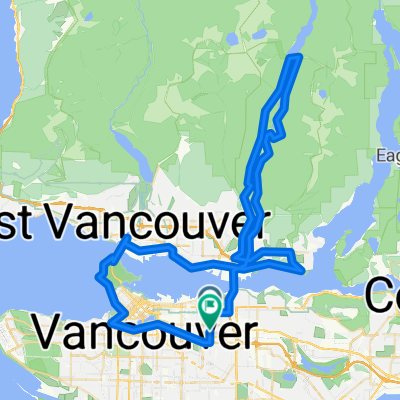
- 102,4 km
- 722 m
- 718 m
- North Vancouver, Columbia Británica, Canadá
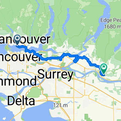
Proposed Acrtoss Canada Trails - Paved Route Burnaby to Hope
Una ruta en bici que comienza en North Vancouver, Columbia Británica, Canadá.
Visión General
Sobre esta ruta
Esta es la ruta propuesta hasta ahora desde el puente hacia Hope, BC
La carretera 7 es la ruta preferida (por experiencia) ya que es mucho más tranquila y aún directa. La ruta de salida de la ciudad sigue rutas ciclistas regionales.
Según OpenCycleMap, parece que el 'Central Valley Greenway' podría ser una buena opción. Sin embargo, o no existen rutas locales, o no están mapeadas.
Esta planificación de rutas es ccBYsa, por favor ayude haciendo una copia de esto y corrigiéndolo como usted cree que debería estar :)
Además, ¡POR FAVOR use ÚNICAMENTE OpenCycleMap y OpenStreetMap para encontrar la ruta!
Nota: Cuando la gente 'Bike Across Canada', este es un punto de partida estándar (ya que es el final del agua salada que toca el océano Pacífico)
- -:--
- Duración
- 141,9 km
- Distancia
- 963 m
- Ascenso
- 967 m
- Descenso
- ---
- Velocidad Media
- ---
- Altitud máxima
creado hace 16 años
Destacados de la ruta
Puntos de interés a lo largo de la ruta
Punto de interés después de 17,6 km
If there is a cycle way here, it might be best to take this route, and head northwest to Port Coquitlam instead of its current route. (if those tracks are paved)
Continuar con Bikemap
Usa, edita o descarga esta ruta en bici
¿Te gustaría recorrer Proposed Acrtoss Canada Trails - Paved Route Burnaby to Hope o personalizarla para tu propio viaje? Esto es lo que puedes hacer con esta ruta de Bikemap:
Funciones gratuitas
- Guarda esta ruta como favorita o en una colección
- Copia y planifica tu propia versión de esta ruta
- Divídelo en etapas para crear una excursión de varios días
- Sincroniza tu ruta con Garmin o Wahoo
Funciones Premium
Prueba gratuita de 3 días o pago único. Más información sobre Bikemap Premium.
- Navega esta ruta en iOS y Android
- Exporta un archivo GPX / KML de esta ruta
- Crea tu impresión personalizada (pruébala gratis)
- Descarga esta ruta para la navegación sin conexión
Descubre más funciones Premium.
Consigue Bikemap PremiumDe nuestra comunidad
North Vancouver: Otras rutas populares que empiezan aquí
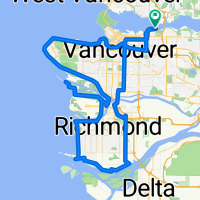
- Vancouver 100km
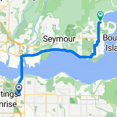
- E Hastings St, Vancouver to Gallant Ave, North Vancouver
- 11,4 km
- 160 m
- 182 m
- North Vancouver, Columbia Británica, Canadá
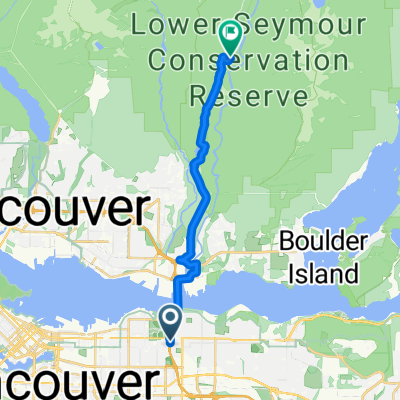
- Gravel Gremlins - Location #1
- 16,5 km
- 413 m
- 225 m
- North Vancouver, Columbia Británica, Canadá
- Stanley Park (30km)
- 30,4 km
- 577 m
- 580 m
- North Vancouver, Columbia Británica, Canadá
- 161 E Sixth St, North Vancouver to 595 Keith Rd, West Vancouver
- 6,9 km
- 60 m
- 92 m
- North Vancouver, Columbia Británica, Canadá
- 80k SDF Loop
- 80,7 km
- 1359 m
- 1357 m
- North Vancouver, Columbia Británica, Canadá
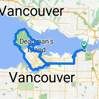
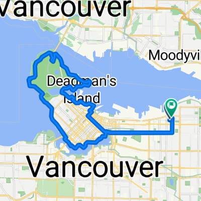
- East Van to Stanley Park Loop
- 26,9 km
- 480 m
- 480 m
- North Vancouver, Columbia Británica, Canadá
- NV to Ridge
- 65,4 km
- 613 m
- 579 m
- North Vancouver, Columbia Británica, Canadá
Ábrela en la app


