Sawtell to Bellingen loop
Una ruta en bici que comienza en Sawtell, Nueva Gales del Sur, Australia.
Visión General
Sobre esta ruta
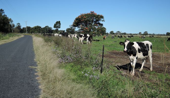
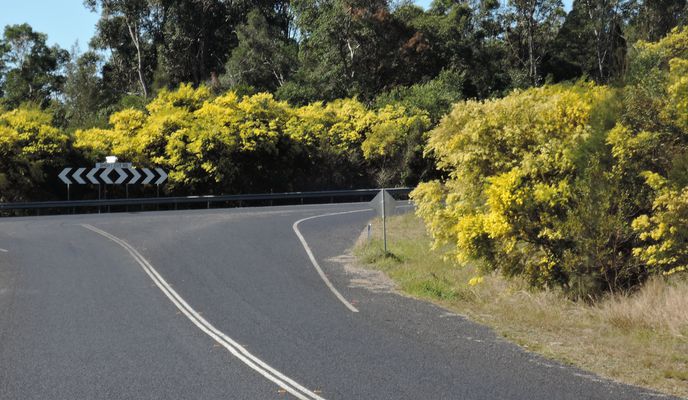
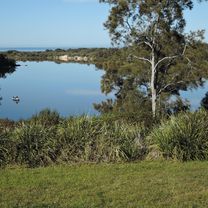
We rode out of our accommodation at Sawtell caravan park on a still and cloudless morning, following Lyons Rd over the new Motorway and onto the old highway Pine creek way. There are multiple alternative backroad routes to Bellingen from Sawtell. We chose to go up Gleniffer Rd. After we passed the semi-rural housing blocks and businesses most of this was a pleasant shady ride through the forest. Soon we were riding past the colony of grey-headed flying fox on the island and across the Bellinger river into Bellingen for obligatory coffee and cake stop. from Bellingen we took Bowraville road, a moderately steep climb but quite rideable and very quiet, traffic wise. After dropping down towards the Kalang river, we then turned onto South Arm Rd, a tiny narrow rd that has some pretence at being sealed. All of a sudden there was a large roar and a giant logging truck was headed towards us as we climbed a steep section. Fortunately this was on a wider, straighter section of the road so we got passed without heading for the ditch.I don't think we saw any other traffic until we got back down to the Kalang river flat. We could have headed straight back up the old highway, but I thought it would be nice to head down into the edge of Urunga and up a loop of the Bellinger river. This was extremely pleasant. From Raleigh, we then took the old highway back to the start.
- -:--
- Duración
- 80,2 km
- Distancia
- 476 m
- Ascenso
- 476 m
- Descenso
- ---
- Velocidad Media
- ---
- Altitud máxima
Fotos de la ruta
Calidad de la ruta
Tipos de vía y superficies a lo largo de la ruta
Tipos de vía
Carretera
62,6 km
(78 %)
Carretera concurrida
15,5 km
(19 %)
Superficies
Pavimentado
76,2 km
(95 %)
Sin pavimentar
4 km
(5 %)
Asfalto
64,5 km
(80 %)
Pavimentado (sin definir)
10,8 km
(13 %)
Continuar con Bikemap
Usa, edita o descarga esta ruta en bici
¿Te gustaría recorrer Sawtell to Bellingen loop o personalizarla para tu propio viaje? Esto es lo que puedes hacer con esta ruta de Bikemap:
Funciones gratuitas
- Guarda esta ruta como favorita o en una colección
- Copia y planifica tu propia versión de esta ruta
- Divídelo en etapas para crear una excursión de varios días
- Sincroniza tu ruta con Garmin o Wahoo
Funciones Premium
Prueba gratuita de 3 días o pago único. Más información sobre Bikemap Premium.
- Navega esta ruta en iOS y Android
- Exporta un archivo GPX / KML de esta ruta
- Crea tu impresión personalizada (pruébala gratis)
- Descarga esta ruta para la navegación sin conexión
Descubre más funciones Premium.
Consigue Bikemap PremiumDe nuestra comunidad
Sawtell: Otras rutas populares que empiezan aquí
 Route from 16–30 First Ave, Sawtell
- Distancia
- 3,6 km
- Ascenso
- 30 m
- Descenso
- 30 m
- Ubicación
- Sawtell, Nueva Gales del Sur, Australia
 Heron Place 2, Sawtell to Harbour Drive 396, Coffs Harbour
- Distancia
- 10,4 km
- Ascenso
- 17 m
- Descenso
- 28 m
- Ubicación
- Sawtell, Nueva Gales del Sur, Australia
 Sawtell to Nana Glen loop
- Distancia
- 84,5 km
- Ascenso
- 424 m
- Descenso
- 426 m
- Ubicación
- Sawtell, Nueva Gales del Sur, Australia
 First Avenue 133, Sawtell to Hulberts Lane 3, Toormina
- Distancia
- 1,9 km
- Ascenso
- 18 m
- Descenso
- 15 m
- Ubicación
- Sawtell, Nueva Gales del Sur, Australia
 63 Boronia St, Sawtell to 34–36 Hulberts Rd, Toormina
- Distancia
- 1,8 km
- Ascenso
- 3 m
- Descenso
- 3 m
- Ubicación
- Sawtell, Nueva Gales del Sur, Australia
 Day 7 - Sawtell - Grafton
- Distancia
- 102,3 km
- Ascenso
- 1246 m
- Descenso
- 1259 m
- Ubicación
- Sawtell, Nueva Gales del Sur, Australia
 Kookaburra Rd, Sawtell to Magpie Pde, Sawtell
- Distancia
- 27,3 km
- Ascenso
- 195 m
- Descenso
- 194 m
- Ubicación
- Sawtell, Nueva Gales del Sur, Australia
 Kookaburra Rd, Sawtell to Magpie Pde, Sawtell
- Distancia
- 28,1 km
- Ascenso
- 181 m
- Descenso
- 183 m
- Ubicación
- Sawtell, Nueva Gales del Sur, Australia
Ábrela en la app


