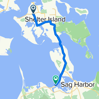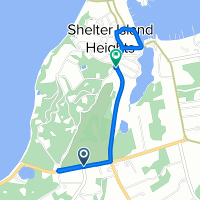

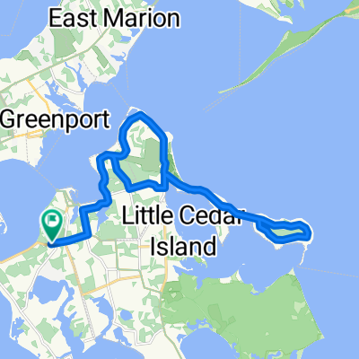
Stearns Point Rd, Shelter Island Heights to Stearns Point Rd, Shelter Island Heights
- 23,4 km
- 224 m
- 220 m
- Shelter Island Heights, Nueva York, Estados Unidos
Una ruta en bici que comienza en Shelter Island Heights, Nueva York, Estados Unidos.
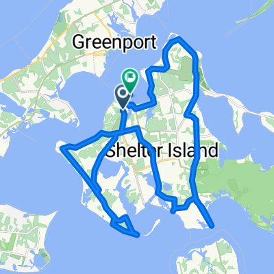
Visión General
creado hace 5 años
Calidad de la ruta
Carretera
21,3 km
(65 %)
Carretera tranquila
1,3 km
(4 %)
Pavimentado
0,7 km
(2 %)
Asfalto
0,7 km
(2 %)
Sin definir
32 km
(98 %)
Continuar con Bikemap
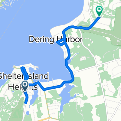
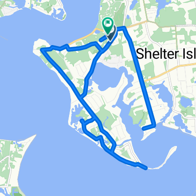
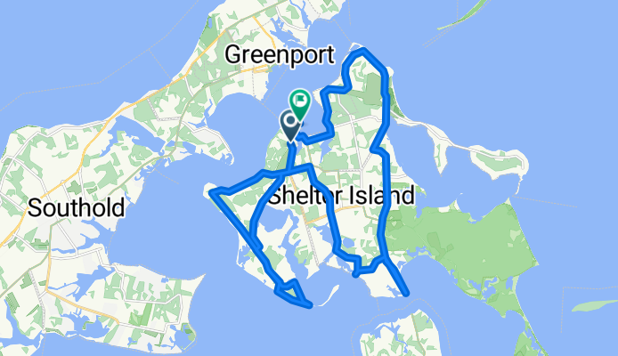
¿Te gustaría recorrer New York Ave, Shelter Island Heights to 14 Chequit Ave, Shelter Island Heights o personalizarla para tu propio viaje? Esto es lo que puedes hacer con esta ruta de Bikemap:
Prueba gratuita de 3 días o pago único. Más información sobre Bikemap Premium.
Descubre más funciones Premium.
Consigue Bikemap PremiumDe nuestra comunidad
Ábrela en la app