VIC - Wangaratta + Glenrowan
Une collection de 10 itinéraires à vélo, créée par DieterD.
Vue d'ensemble
À propos de cette collection
Pistes cyclables dans les régions de Wangarata et Glenrowan à Victoria, en Australie
- 10
- Itinéraires
- -:--
- Durée
- 275,6 km
- Distance
- ---
- Vit. moyenne
- 1 923 m
- Montée
- 1 922 m
- Descente
VIC - Wangaratta + Glenrowan
Itinéraires dans cette collection
Les 10 itinéraires de cette collection peuvent être ouverts sur la carte ou dans l’application Bikemap pour plus de détails. Tu peux les ajuster dans le planificateur d’itinéraire, ou les télécharger au format GPX ou KML. Utilise-les comme modèle pour planifier tes propres sorties, ou laisse Bikemap te guider directement.
Wangaratta circuit (VIC-AU)
Itinéraire à vélo à Wangaratta, Victoria, Australie
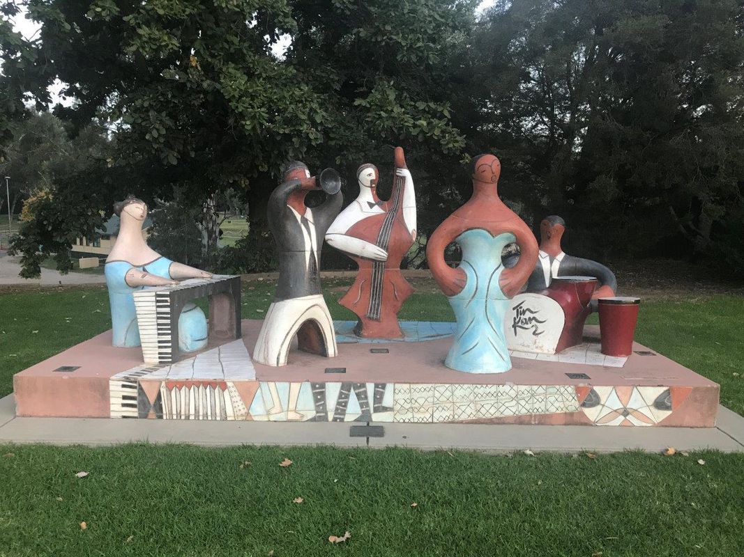
Start at Apex Park and follow Ovens River route (there will be sculptures to view on this route). After Ovens River route there are various bike track options (paved and unpaved). Many will be besides parks, off-road next to town roads, along creeks. Overall a pleasant town to cycyle in. Return to …
- 11,3 km
- Distance
- 63 m
- Montée
- 59 m
- Descente
Wangaratta - Milawa circuit (VIC-AU)
Itinéraire à vélo à Wangaratta, Victoria, Australie
Along the bike track from Wangaratta to Milawa. On return can do the country road (not much traffic) back to Wangaratta. Easy ride.
- 42,1 km
- Distance
- 147 m
- Montée
- 148 m
- Descente
Upper Everton to Beechworth (VIC-AU)
Itinéraire à vélo à
Constantly uphill but easily enough do-able. Popular track, worth doing.
- 17,3 km
- Distance
- 382 m
- Montée
- 77 m
- Descente
Beechworth via Upper Everton to Myrtleford (VIC-AU)
Itinéraire à vélo à
Downhill route from Beechworth to Upper Everton. After Everton do (some of) the route to Myrtelford, through Bowman's Forest or further, depending on how much time is left in the day and the time you spent in Beechworth - a historical town worth looking around.
- 42,8 km
- Distance
- 331 m
- Montée
- 674 m
- Descente
Myrtleford through Everton to Upper Everton (VIC-AU)
Itinéraire à vélo à
- 27,7 km
- Distance
- 297 m
- Montée
- 259 m
- Descente
Myrtleford via Porepunkah to Bright (VIC-AU)
Itinéraire à vélo à
Very pleasant ride from Myrtleford to Bright in Victoria (Australia). Definitely worth doing on good bike track and nice autumn colours and weather.
- 34,6 km
- Distance
- 250 m
- Montée
- 150 m
- Descente
Bright via Porepunkah to Myrtleford (VIC-AU)
Itinéraire à vélo à
- 32,7 km
- Distance
- 121 m
- Montée
- 221 m
- Descente


