
Wilsonton Heights à vélo
Découvre une carte de 122 itinéraires et pistes cyclables près de Wilsonton Heights, créés par notre communauté.
Portrait de région
Fais connaissance avec Wilsonton Heights
Trouve l’itinéraire à vélo qui te convient à Wilsonton Heights, où nous avons 122 pistes cyclables à explorer. La plupart des gens enfourchent leur vélo pour rouler ici aux mois de janvier et mai.
2 224 km
Distance enregistrée
122
Itinéraires cyclables
2 822
Population
Communauté
Utilisateurs les plus actifs à Wilsonton Heights


De notre communauté
Les meilleurs itinéraires à vélo dans et autour de Wilsonton Heights

Kleinton - Meringandan - Highfields
Itinéraire à vélo à Wilsonton Heights, State of Queensland, Australie
- 17,9 km
- Distance
- 264 m
- Montée
- 263 m
- Descente


Highfields (Queensland) East Path Loop
Itinéraire à vélo à Wilsonton Heights, State of Queensland, Australie
- 8,7 km
- Distance
- 36 m
- Montée
- 34 m
- Descente

Collingwood descent
Itinéraire à vélo à Wilsonton Heights, State of Queensland, Australie
- 35,1 km
- Distance
- 298 m
- Montée
- 694 m
- Descente

kingsthorpe gorrie highfields
Itinéraire à vélo à Wilsonton Heights, State of Queensland, Australie
- 44,9 km
- Distance
- 620 m
- Montée
- 620 m
- Descente
Découvrez plus d'itinéraires
 Snail-like route in Newtown
- Distance
- 2,3 km
- Montée
- 0 m
- Descente
- 56 m
- Emplacement
- Wilsonton Heights, State of Queensland, Australie
 87 Holberton Street, Newtown to 40 Wirra Wirra Street, East Toowoomba
- Distance
- 6,5 km
- Montée
- 126 m
- Descente
- 61 m
- Emplacement
- Wilsonton Heights, State of Queensland, Australie
 15Km bike route
- Distance
- 15,1 km
- Montée
- 184 m
- Descente
- 170 m
- Emplacement
- Wilsonton Heights, State of Queensland, Australie
 Highfields to Highfields
- Distance
- 11,3 km
- Montée
- 76 m
- Descente
- 78 m
- Emplacement
- Wilsonton Heights, State of Queensland, Australie
 morning loop
- Distance
- 18,7 km
- Montée
- 159 m
- Descente
- 160 m
- Emplacement
- Wilsonton Heights, State of Queensland, Australie
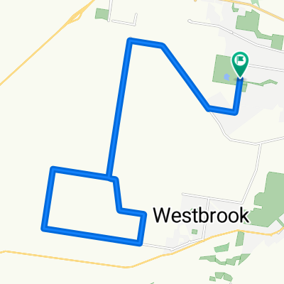
 Harrocks Rd
- Distance
- 5 km
- Montée
- 11 m
- Descente
- 222 m
- Emplacement
- Wilsonton Heights, State of Queensland, Australie
 TT ENDEAVOUR 30KM
- Distance
- 28 km
- Montée
- 241 m
- Descente
- 241 m
- Emplacement
- Wilsonton Heights, State of Queensland, Australie
 Alexander Avenue 6, Highfields to Alexander Avenue 6, Highfields
- Distance
- 14 km
- Montée
- 197 m
- Descente
- 197 m
- Emplacement
- Wilsonton Heights, State of Queensland, Australie