
Temburong à vélo
Découvre une carte de 16 itinéraires et pistes cyclables à Temburong, créés par notre communauté.
Portrait de région
Fais connaissance avec Temburong
Trouve l’itinéraire à vélo qui te convient à Temburong, où nous avons 16 pistes cyclables à explorer.
264 km
Distance enregistrée
16
Itinéraires cyclables
Communauté
Utilisateurs les plus actifs à Temburong


De notre communauté
Les meilleurs itinéraires à vélo à Temburong

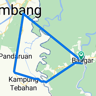
Bangar Puni Bukok Rataie Loop
Itinéraire à vélo à Bangar, Temburong, Brunei
- 27,4 km
- Distance
- 303 m
- Montée
- 301 m
- Descente

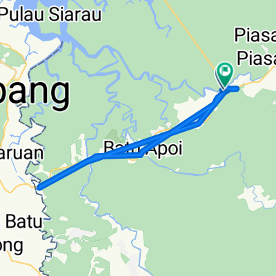
Bangar back river cruise
Itinéraire à vélo à Bangar, Temburong, Brunei
- 29,1 km
- Distance
- 69 m
- Montée
- 72 m
- Descente

Bangar, bike and Bukit Patoi
Itinéraire à vélo à Bangar, Temburong, Brunei
- 16,1 km
- Distance
- 388 m
- Montée
- 109 m
- Descente

Bukit Patoi extension walk
Itinéraire à vélo à Bangar, Temburong, Brunei
- 1,1 km
- Distance
- 88 m
- Montée
- 28 m
- Descente
Découvrez plus d'itinéraires
 Labu logging track
- Distance
- 13,9 km
- Montée
- 455 m
- Descente
- 452 m
- Emplacement
- Bangar, Temburong, Brunei
 Temada-Sibut track
- Distance
- 6,8 km
- Montée
- 108 m
- Descente
- 117 m
- Emplacement
- Bangar, Temburong, Brunei
 Temburong Practice Run
- Distance
- 13 km
- Montée
- 102 m
- Descente
- 86 m
- Emplacement
- Bangar, Temburong, Brunei
 Temburong border to border
- Distance
- 26,9 km
- Montée
- 292 m
- Descente
- 271 m
- Emplacement
- Bangar, Temburong, Brunei
 Brunei, Bangar to Brunei, Bangar
- Distance
- 2 km
- Montée
- 12 m
- Descente
- 12 m
- Emplacement
- Bangar, Temburong, Brunei
 Afternoon Ride
- Distance
- 15 km
- Montée
- 157 m
- Descente
- 133 m
- Emplacement
- Bangar, Temburong, Brunei
 Restful route
- Distance
- 40,4 km
- Montée
- 31 m
- Descente
- 84 m
- Emplacement
- Bangar, Temburong, Brunei
 Blistering ride
- Distance
- 22,3 km
- Montée
- 49 m
- Descente
- 39 m
- Emplacement
- Bangar, Temburong, Brunei
Régions cyclables dans Temburong
Bangar
16 itinéraires à vélo
Découvre où les gens font du vélo en Brunei
Régions cyclables populaires en Brunei

