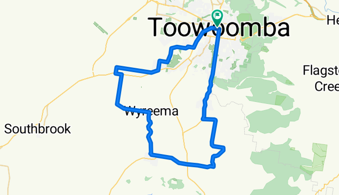
Toowoomba à vélo
Découvre une carte de 288 itinéraires et pistes cyclables près de Toowoomba, créés par notre communauté.
Portrait de région
Fais connaissance avec Toowoomba
Trouve l’itinéraire à vélo qui te convient à Toowoomba, où nous avons 288 pistes cyclables à explorer. La plupart des gens enfourchent leur vélo pour rouler ici aux mois de août et septembre.
11 638 km
Distance enregistrée
288
Itinéraires cyclables
131 258
Population
Communauté
Utilisateurs les plus actifs à Toowoomba
De notre communauté
Les meilleurs itinéraires à vélo dans et autour de Toowoomba
Ramsay-Cambooya-Wyreema-Westbrook
Itinéraire à vélo à Toowoomba, State of Queensland, Australie
- 64,3 km
- Distance
- 457 m
- Montée
- 457 m
- Descente
Heifer Creek Ride
Itinéraire à vélo à Toowoomba, State of Queensland, Australie
- 125,6 km
- Distance
- 895 m
- Montée
- 895 m
- Descente
Toowoomba Tweed Run 2011
Itinéraire à vélo à Toowoomba, State of Queensland, Australie
- 7,5 km
- Distance
- 64 m
- Montée
- 56 m
- Descente
TT 3T TOOWOOMBA TAMBORINE TUMBULGUM MAY LONG WEEKEND
Itinéraire à vélo à Toowoomba, State of Queensland, Australie
- 341,3 km
- Distance
- 1 280 m
- Montée
- 1 866 m
- Descente
Découvrez plus d'itinéraires
 Toowoomba West and East Creeks
- Distance
- 13,6 km
- Montée
- 117 m
- Descente
- 117 m
- Emplacement
- Toowoomba, State of Queensland, Australie
 Cobb & Co
- Distance
- 4,2 km
- Montée
- 35 m
- Descente
- 58 m
- Emplacement
- Toowoomba, State of Queensland, Australie
 Haden-Goombungee-Red-Hill
- Distance
- 99,7 km
- Montée
- 668 m
- Descente
- 668 m
- Emplacement
- Toowoomba, State of Queensland, Australie
 Restful route in Toowoomba
- Distance
- 21 km
- Montée
- 157 m
- Descente
- 158 m
- Emplacement
- Toowoomba, State of Queensland, Australie
 USQ TBA
- Distance
- 4,2 km
- Montée
- 59 m
- Descente
- 5 m
- Emplacement
- Toowoomba, State of Queensland, Australie
 MOUNT LOFTY - GOWRIE JUNCTION - MOUNT LOFTY
- Distance
- 29,7 km
- Montée
- 452 m
- Descente
- 456 m
- Emplacement
- Toowoomba, State of Queensland, Australie
 TT SUNDAY SHORT B 48KM
- Distance
- 47,4 km
- Montée
- 327 m
- Descente
- 327 m
- Emplacement
- Toowoomba, State of Queensland, Australie
 TT PINKTOBER LADIES
- Distance
- 74,4 km
- Montée
- 509 m
- Descente
- 509 m
- Emplacement
- Toowoomba, State of Queensland, Australie


