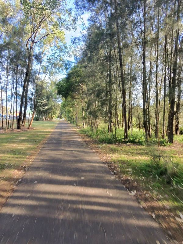
Regents Park à vélo
Découvre une carte de 62 itinéraires et pistes cyclables près de Regents Park, créés par notre communauté.
Portrait de région
Fais connaissance avec Regents Park
Trouve l’itinéraire à vélo qui te convient à Regents Park, où nous avons 62 pistes cyclables à explorer.
7 129 km
Distance enregistrée
62
Itinéraires cyclables
4 985
Population
Communauté
Utilisateurs les plus actifs à Regents Park
De notre communauté
Les meilleurs itinéraires à vélo dans et autour de Regents Park
Magney Ave, Regents Park to Mars Pl, Lansvale
Itinéraire à vélo à Regents Park, Nouvelle-Galles du Sud, Australie
- 17 km
- Distance
- 125 m
- Montée
- 167 m
- Descente
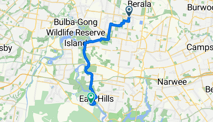
Magney Ave, Regents Park to Henry Lawson Dr, East Hills
Itinéraire à vélo à Regents Park, Nouvelle-Galles du Sud, Australie
- 15,6 km
- Distance
- 82 m
- Montée
- 113 m
- Descente
Magney Ave, Regents Park to Henry Lawson Dr, East Hills
Itinéraire à vélo à Regents Park, Nouvelle-Galles du Sud, Australie
- 16 km
- Distance
- 72 m
- Montée
- 104 m
- Descente
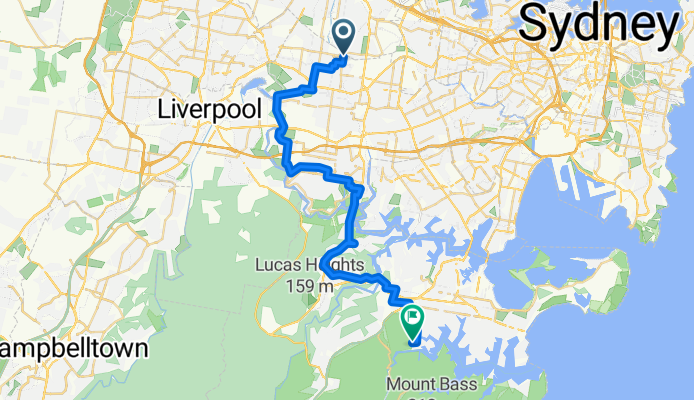
Magney Ave, Regents Park to Grays Point Rd, Royal National Park
Itinéraire à vélo à Regents Park, Nouvelle-Galles du Sud, Australie
- 40 km
- Distance
- 482 m
- Montée
- 436 m
- Descente
Découvrez plus d'itinéraires
 Dunc Gray Velodrome to Randwick Plaza
- Distance
- 31,8 km
- Montée
- 193 m
- Descente
- 161 m
- Emplacement
- Regents Park, Nouvelle-Galles du Sud, Australie
 Dunc Gray Velodrome to Silverwater Bridge
- Distance
- 22,1 km
- Montée
- 77 m
- Descente
- 115 m
- Emplacement
- Regents Park, Nouvelle-Galles du Sud, Australie
 Dunc Gray to Elizabeth Drv via HLD M5 M7
- Distance
- 28,1 km
- Montée
- 224 m
- Descente
- 137 m
- Emplacement
- Regents Park, Nouvelle-Galles du Sud, Australie
 9 Patricia St, Chester Hill to 9 Patricia St, Chester Hill
- Distance
- 4,1 km
- Montée
- 27 m
- Descente
- 22 m
- Emplacement
- Regents Park, Nouvelle-Galles du Sud, Australie
 1 Johnston Rd, Bass Hill to 83 Milperra Rd, Revesby
- Distance
- 5,7 km
- Montée
- 37 m
- Descente
- 61 m
- Emplacement
- Regents Park, Nouvelle-Galles du Sud, Australie
 Regents Park to KCCS Arncliffe via Cooks River Cycleway
- Distance
- 18,4 km
- Montée
- 102 m
- Descente
- 113 m
- Emplacement
- Regents Park, Nouvelle-Galles du Sud, Australie
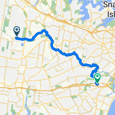 66 Wyatt Avenue, Regents Park to 19 Dowling Street, Arncliffe
- Distance
- 19,6 km
- Montée
- 59 m
- Descente
- 95 m
- Emplacement
- Regents Park, Nouvelle-Galles du Sud, Australie
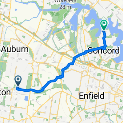 66 Wyatt Avenue, Regents Park to 18 Woodlands Avenue, Breakfast Point
- Distance
- 6 050,5 km
- Montée
- 113 m
- Descente
- 152 m
- Emplacement
- Regents Park, Nouvelle-Galles du Sud, Australie


