
Forster à vélo
Découvre une carte de 54 itinéraires et pistes cyclables près de Forster, créés par notre communauté.
Portrait de région
Fais connaissance avec Forster
Trouve l’itinéraire à vélo qui te convient à Forster, où nous avons 54 pistes cyclables à explorer. La plupart des gens enfourchent leur vélo pour rouler ici aux mois de juin et juillet.
1 031 km
Distance enregistrée
54
Itinéraires cyclables
17 591
Population
Communauté
Utilisateurs les plus actifs à Forster


Itinéraires soigneusement sélectionnés
Découvre Forster à travers ces collections

De notre communauté
Les meilleurs itinéraires à vélo dans et autour de Forster


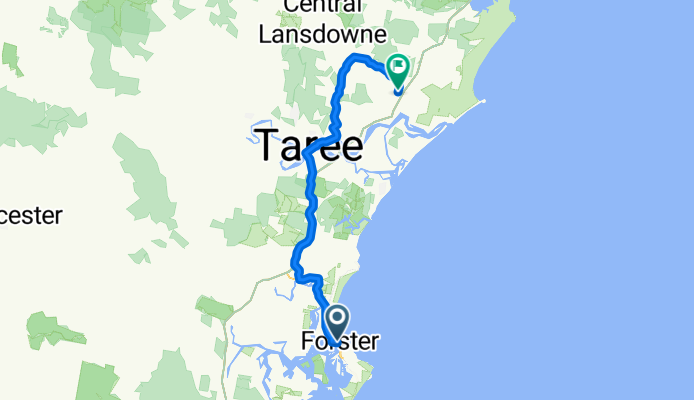
Forster to Mungo Brush
Itinéraire à vélo à Forster, Nouvelle-Galles du Sud, Australie
- 65,6 km
- Distance
- 312 m
- Montée
- 309 m
- Descente
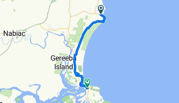
NSW Coastline Cycleway: Forster to Old Bar
Itinéraire à vélo à Forster, Nouvelle-Galles du Sud, Australie
- 19,2 km
- Distance
- 55 m
- Montée
- 57 m
- Descente
1.B Fra Forster til Harrington
Itinéraire à vélo à Forster, Nouvelle-Galles du Sud, Australie
- 67,6 km
- Distance
- 267 m
- Montée
- 268 m
- Descente

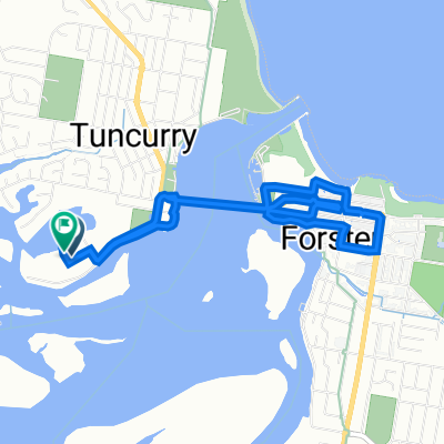
Lakeview Rd, Tuncurry to 1 Baird St, Tuncurry
Itinéraire à vélo à Forster, Nouvelle-Galles du Sud, Australie
- 30,8 km
- Distance
- 139 m
- Montée
- 134 m
- Descente
Découvrez plus d'itinéraires
 11-13 Baird St, Tuncurry to 1 Baird St, Tuncurry
- Distance
- 15,2 km
- Montée
- 78 m
- Descente
- 78 m
- Emplacement
- Forster, Nouvelle-Galles du Sud, Australie
 Mariners Dr, Tuncurry to Lakeview Rd, Tuncurry
- Distance
- 7,4 km
- Montée
- 26 m
- Descente
- 32 m
- Emplacement
- Forster, Nouvelle-Galles du Sud, Australie
 3 Baird St, Tuncurry to 1 Baird St, Tuncurry
- Distance
- 27,8 km
- Montée
- 77 m
- Descente
- 79 m
- Emplacement
- Forster, Nouvelle-Galles du Sud, Australie
 mobys loopy
- Distance
- 8,3 km
- Montée
- 0 m
- Descente
- 14 m
- Emplacement
- Forster, Nouvelle-Galles du Sud, Australie
 chain gang
- Distance
- 9 km
- Montée
- 3 m
- Descente
- 11 m
- Emplacement
- Forster, Nouvelle-Galles du Sud, Australie
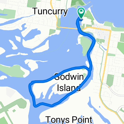
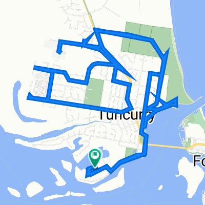 1 Baird St, Tuncurry to 1 Baird St, Tuncurry
- Distance
- 19,4 km
- Montée
- 42 m
- Descente
- 46 m
- Emplacement
- Forster, Nouvelle-Galles du Sud, Australie
 Dolphin Drive, Forster to Dolphin Drive, Forster
- Distance
- 8,5 km
- Montée
- 0 m
- Descente
- 0 m
- Emplacement
- Forster, Nouvelle-Galles du Sud, Australie
 Forster Tester
- Distance
- 2,6 km
- Montée
- 9 m
- Descente
- 8 m
- Emplacement
- Forster, Nouvelle-Galles du Sud, Australie