
Hjortshøj à vélo
Découvre une carte de 44 itinéraires et pistes cyclables près de Hjortshøj, créés par notre communauté.
Portrait de région
Fais connaissance avec Hjortshøj
Trouve l’itinéraire à vélo qui te convient à Hjortshøj, où nous avons 44 pistes cyclables à explorer. La plupart des gens enfourchent leur vélo pour rouler ici au mois de juillet.
1 752 km
Distance enregistrée
44
Itinéraires cyclables
2 515
Population
Communauté
Utilisateurs les plus actifs à Hjortshøj


De notre communauté
Les meilleurs itinéraires à vélo dans et autour de Hjortshøj

Skæring 20.07
Itinéraire à vélo à Hjortshøj, Jutland-Central, Danemark
- 32,2 km
- Distance
- 169 m
- Montée
- 175 m
- Descente

Hummel Hummel "Mols" "Mols"
Itinéraire à vélo à Hjortshøj, Jutland-Central, Danemark
- 41,4 km
- Distance
- 243 m
- Montée
- 228 m
- Descente

sommer 2023
Itinéraire à vélo à Hjortshøj, Jutland-Central, Danemark
- 258,1 km
- Distance
- 1 053 m
- Montée
- 1 061 m
- Descente

Skaering-Odder grob
Itinéraire à vélo à Hjortshøj, Jutland-Central, Danemark
- 41,9 km
- Distance
- 154 m
- Montée
- 141 m
- Descente
Découvrez plus d'itinéraires
 Mols Bjerge
- Distance
- 65,9 km
- Montée
- 580 m
- Descente
- 550 m
- Emplacement
- Hjortshøj, Jutland-Central, Danemark
 Test af kørsel med App
- Distance
- 7,2 km
- Montée
- 5 m
- Descente
- 75 m
- Emplacement
- Hjortshøj, Jutland-Central, Danemark
 Skødstrup - Risskov
- Distance
- 17,8 km
- Montée
- 49 m
- Descente
- 27 m
- Emplacement
- Hjortshøj, Jutland-Central, Danemark
 Hjortshøj til Fjellerup
- Distance
- 55 km
- Montée
- 252 m
- Descente
- 270 m
- Emplacement
- Hjortshøj, Jutland-Central, Danemark
 Skæring Nord 9.07
- Distance
- 21,9 km
- Montée
- 135 m
- Descente
- 139 m
- Emplacement
- Hjortshøj, Jutland-Central, Danemark
 Skødshovedgård
- Distance
- 17,6 km
- Montée
- 86 m
- Descente
- 89 m
- Emplacement
- Hjortshøj, Jutland-Central, Danemark
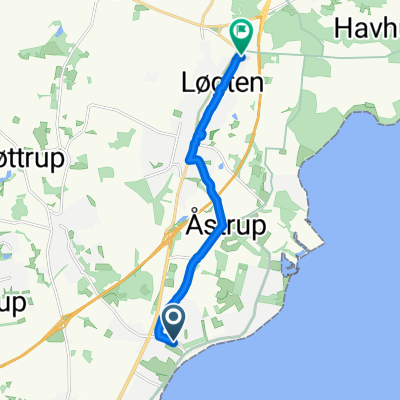
 Skæring Strandvej 44, Egå do Stavneagervej 41B, Egå
- Distance
- 30,1 km
- Montée
- 134 m
- Descente
- 132 m
- Emplacement
- Hjortshøj, Jutland-Central, Danemark
 Da Skæring Havvej a Vosnæsparken
- Distance
- 7,8 km
- Montée
- 66 m
- Descente
- 57 m
- Emplacement
- Hjortshøj, Jutland-Central, Danemark