- 19,3 km
- 399 m
- 400 m
- Stroud, Angleterre, Royaume-Uni

Stroud à vélo
Découvre une carte de 178 itinéraires et pistes cyclables près de Stroud, créés par notre communauté.
Portrait de région
Fais connaissance avec Stroud
Trouve l’itinéraire à vélo qui te convient à Stroud, où nous avons 178 pistes cyclables à explorer. La plupart des gens enfourchent leur vélo pour rouler ici aux mois de avril et juin.
10 324 km
Distance enregistrée
178
Itinéraires cyclables
30 600
Population
Communauté
Utilisateurs les plus actifs à Stroud
Itinéraires soigneusement sélectionnés
Découvre Stroud à travers ces collections
- Tour
De notre communauté
Les meilleurs itinéraires à vélo dans et autour de Stroud
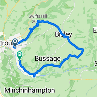
Bowbridge-Minch
Itinéraire à vélo à Stroud, Angleterre, Royaume-Uni
- 12,1 km
- Distance
- 246 m
- Montée
- 246 m
- Descente
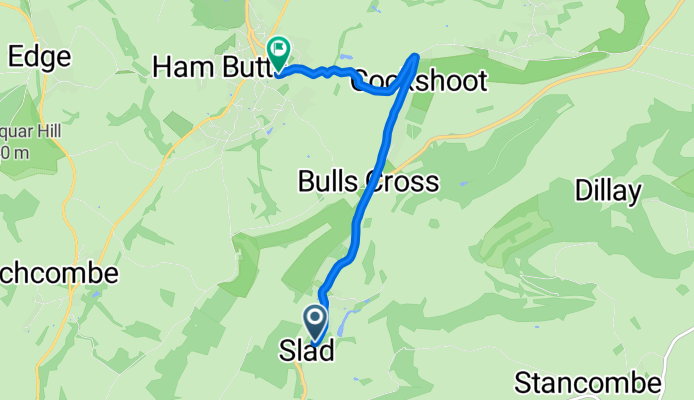
Slad Road, Stroud to Bisley Street, Stroud
Itinéraire à vélo à Stroud, Angleterre, Royaume-Uni
- 4,6 km
- Distance
- 131 m
- Montée
- 102 m
- Descente
day 3 2018
Itinéraire à vélo à Stroud, Angleterre, Royaume-Uni
- 73,7 km
- Distance
- 183 m
- Montée
- 177 m
- Descente
Day 2 2018
Itinéraire à vélo à Stroud, Angleterre, Royaume-Uni
- 70,6 km
- Distance
- 445 m
- Montée
- 354 m
- Descente
Découvrez plus d'itinéraires
- Bowbridge - Bisley - Chalford - and back
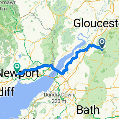
- The Mill Pond, Stroud to Queensway, Newport
- 76,7 km
- 586 m
- 622 m
- Stroud, Angleterre, Royaume-Uni
- Whiteshill to Gloucester via Stonehouse, Standish, Epney, canal path to docks & cathedral, Hardwicke Stonehouse, Ruscombe & return
- 57,9 km
- 288 m
- 332 m
- Stroud, Angleterre, Royaume-Uni
- Whiteshill to Cirencester
- 33,7 km
- 254 m
- 309 m
- Stroud, Angleterre, Royaume-Uni
- Tour of the South Cotswolds as far as Bibury
- 91 km
- 675 m
- 666 m
- Stroud, Angleterre, Royaume-Uni
- Whiteshill to Bulls Cross, Miserden, Sapperton, Duntisbourne Abbotts, Winstone, Syde, Caudle Green, Cranham, Painswick Beacon & home
- 56,6 km
- 659 m
- 653 m
- Stroud, Angleterre, Royaume-Uni
- Whiteshill to Selsley, Coaley, Uley & return via Eastington & Ruscombe
- 53,2 km
- 420 m
- 415 m
- Stroud, Angleterre, Royaume-Uni
- Whiteshill to Bulls Cross, The Camp, Bisley, Water Lane, Oakridge Lynch, Sapperton, Daglingworth, Stratton, Cirencester, Ewen, Kemble, Tarlton, Minchinhampton C
- 88,2 km
- 744 m
- 722 m
- Stroud, Angleterre, Royaume-Uni


