Queensferry à vélo
Découvre une carte de 193 itinéraires et pistes cyclables près de Queensferry, créés par notre communauté.
Portrait de région
Fais connaissance avec Queensferry
Trouve l’itinéraire à vélo qui te convient à Queensferry, où nous avons 193 pistes cyclables à explorer. La plupart des gens enfourchent leur vélo pour rouler ici aux mois de avril et juin.
9 646 km
Distance enregistrée
193
Itinéraires cyclables
9 477
Population
Communauté
Utilisateurs les plus actifs à Queensferry
De notre communauté
Les meilleurs itinéraires à vélo dans et autour de Queensferry
Sth queensferry
Itinéraire à vélo à Queensferry, Ecosse, Royaume-Uni
- 19,4 km
- Distance
- 140 m
- Montée
- 175 m
- Descente
01_Edinburgh-StAndrews_2016-06-18
Itinéraire à vélo à Queensferry, Ecosse, Royaume-Uni
- 72,8 km
- Distance
- 471 m
- Montée
- 395 m
- Descente
St Margarets Way-South Queensferry to Burntisland
Itinéraire à vélo à Queensferry, Ecosse, Royaume-Uni
- 20,4 km
- Distance
- 165 m
- Montée
- 170 m
- Descente
South_Queensferry_Falkirk_Grangemouth
Itinéraire à vélo à Queensferry, Ecosse, Royaume-Uni
- 28,7 km
- Distance
- 173 m
- Montée
- 188 m
- Descente
Découvrez plus d'itinéraires
 SQF - Linlithgow - SQF
- Distance
- 41,8 km
- Montée
- 327 m
- Descente
- 331 m
- Emplacement
- Queensferry, Ecosse, Royaume-Uni
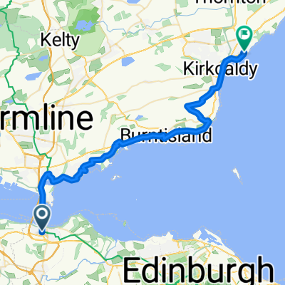 From South Queensferry to Kirkcaldy
- Distance
- 35,1 km
- Montée
- 400 m
- Descente
- 435 m
- Emplacement
- Queensferry, Ecosse, Royaume-Uni
 Edinburgh to St. Andrews
- Distance
- 72 km
- Montée
- 424 m
- Descente
- 420 m
- Emplacement
- Queensferry, Ecosse, Royaume-Uni
 1.Tag Loch Tummel
- Distance
- 125,6 km
- Montée
- 1 102 m
- Descente
- 998 m
- Emplacement
- Queensferry, Ecosse, Royaume-Uni
 57 The Loan, South Queensferry to 43/1 Arden St, Edinburgh
- Distance
- 17,1 km
- Montée
- 445 m
- Descente
- 376 m
- Emplacement
- Queensferry, Ecosse, Royaume-Uni
 24 High Street, South Queensferry to 6 Hopetoun Street, Edinburgh
- Distance
- 17,9 km
- Montée
- 160 m
- Descente
- 149 m
- Emplacement
- Queensferry, Ecosse, Royaume-Uni
 Sunday afternoon ride
- Distance
- 22,1 km
- Montée
- 174 m
- Descente
- 173 m
- Emplacement
- Queensferry, Ecosse, Royaume-Uni
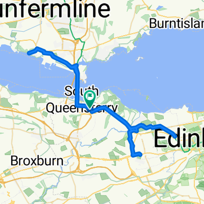 Easter
- Distance
- 52 km
- Montée
- 336 m
- Descente
- 335 m
- Emplacement
- Queensferry, Ecosse, Royaume-Uni
Itinéraires vers Queensferry
Sortie rapide à vélo de
Édimbourg à Queensferry


