Manifold valley South to North 13km
- 13,4 km
- 124 m
- 126 m
- Mayfield, Angleterre, Royaume-Uni

Trouve l’itinéraire à vélo qui te convient à Mayfield, où nous avons 51 pistes cyclables à explorer.
Distance enregistrée
Itinéraires cyclables
Population
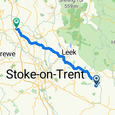
Itinéraire à vélo à Mayfield, Angleterre, Royaume-Uni
Itinéraire à vélo à Mayfield, Angleterre, Royaume-Uni
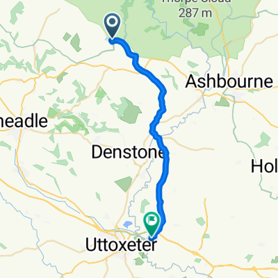
Itinéraire à vélo à Mayfield, Angleterre, Royaume-Uni
Itinéraire à vélo à Mayfield, Angleterre, Royaume-Uni