
Lennoxtown à vélo
Découvre une carte de 58 itinéraires et pistes cyclables près de Lennoxtown, créés par notre communauté.
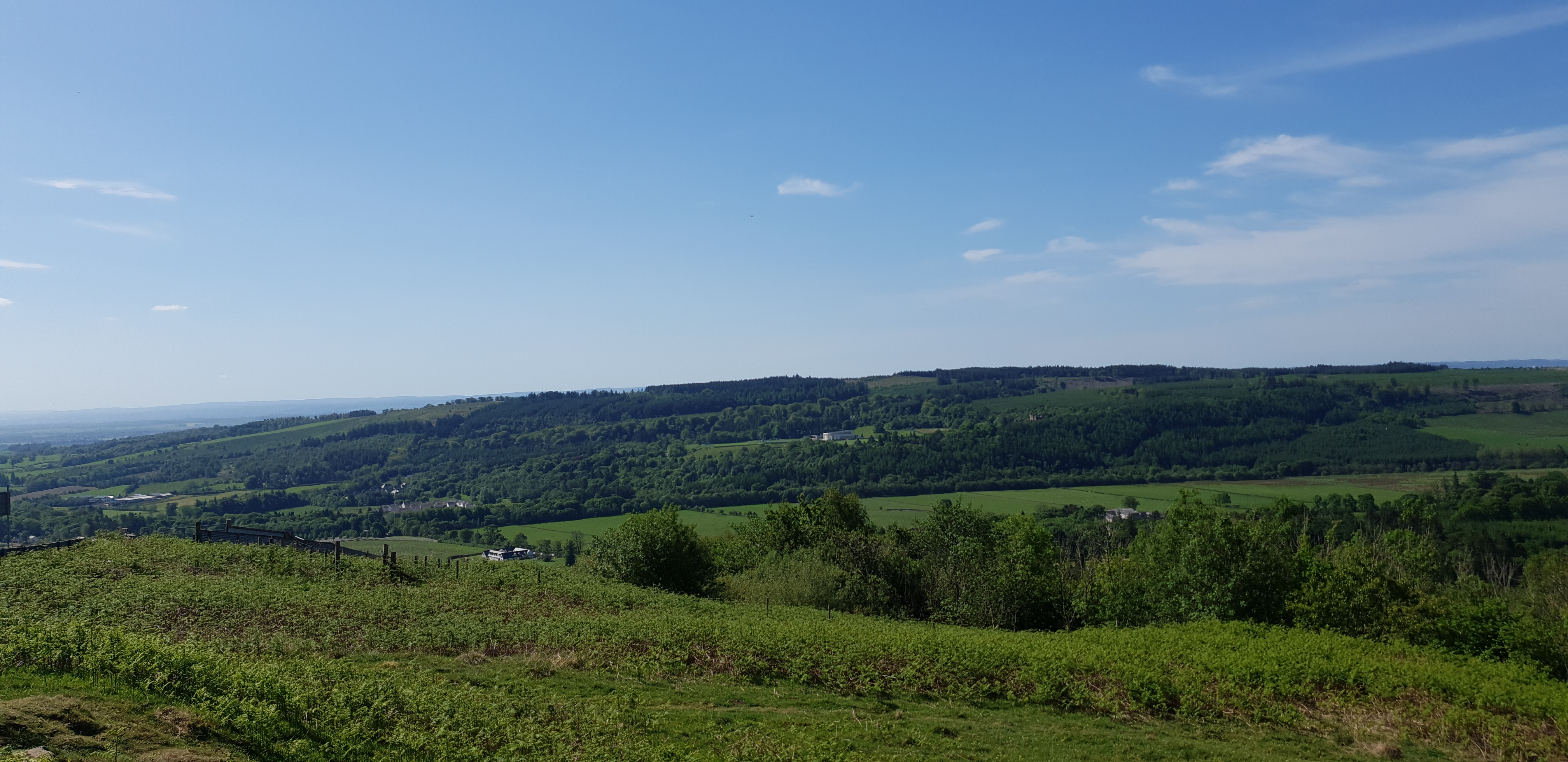
Portrait de région
Fais connaissance avec Lennoxtown
Trouve l’itinéraire à vélo qui te convient à Lennoxtown, où nous avons 58 pistes cyclables à explorer. La plupart des gens enfourchent leur vélo pour rouler ici aux mois de juin et juillet.
984 km
Distance enregistrée
58
Itinéraires cyclables
3 795
Population
Communauté
Utilisateurs les plus actifs à Lennoxtown


De notre communauté
Les meilleurs itinéraires à vélo dans et autour de Lennoxtown

Crow road and Tak Ma Doon circular
Itinéraire à vélo à Lennoxtown, Scotland, United Kingdom
- 42,5 km
- Distance
- 597 m
- Montée
- 594 m
- Descente


Main Street 216, Lennoxtown to Crow Road
Itinéraire à vélo à Lennoxtown, Scotland, United Kingdom
- 3,7 km
- Distance
- 146 m
- Montée
- 1 m
- Descente

John Muir Way Part 2
Itinéraire à vélo à Lennoxtown, Scotland, United Kingdom
Lennoxtown to Bo'mains Farm B&B
- 49,9 km
- Distance
- 200 m
- Montée
- 148 m
- Descente

Family Celtic Route
Itinéraire à vélo à Lennoxtown, Scotland, United Kingdom
Family route incorporating offroad paths and quiet roads
- 5,2 km
- Distance
- 69 m
- Montée
- 69 m
- Descente
Découvrez plus d'itinéraires
 Ferguson Park to Top of Campsies
- Distance
- 7 km
- Montée
- 10 m
- Descente
- 404 m
- Emplacement
- Lennoxtown, Scotland, United Kingdom
 Campsie Glen returning via public right of way through fields
- Distance
- 7,6 km
- Montée
- 45 m
- Descente
- 43 m
- Emplacement
- Lennoxtown, Scotland, United Kingdom
 Main Street 224, Lennoxtown to Main Street 226, Lennoxtown
- Distance
- 18,9 km
- Montée
- 94 m
- Descente
- 81 m
- Emplacement
- Lennoxtown, Scotland, United Kingdom
 Campsie Fells and Lennox Forest
- Distance
- 18,6 km
- Montée
- 604 m
- Descente
- 612 m
- Emplacement
- Lennoxtown, Scotland, United Kingdom
 Lake of Menteith loop (7)
- Distance
- 6,3 km
- Montée
- 238 m
- Descente
- 11 m
- Emplacement
- Lennoxtown, Scotland, United Kingdom
 Rose Commute
- Distance
- 26,9 km
- Montée
- 22 m
- Descente
- 75 m
- Emplacement
- Lennoxtown, Scotland, United Kingdom
 Lennox Forest, Balmore Quarry and Trig Point
- Distance
- 11,8 km
- Montée
- 222 m
- Descente
- 221 m
- Emplacement
- Lennoxtown, Scotland, United Kingdom
 MOC Lochs Route
- Distance
- 13,7 km
- Montée
- 136 m
- Descente
- 134 m
- Emplacement
- Lennoxtown, Scotland, United Kingdom