
Croft à vélo
Découvre une carte de 151 itinéraires et pistes cyclables près de Croft, créés par notre communauté.
Portrait de région
Fais connaissance avec Croft
Trouve l’itinéraire à vélo qui te convient à Croft, où nous avons 151 pistes cyclables à explorer. La plupart des gens enfourchent leur vélo pour rouler ici aux mois de mai et juin.
4 159 km
Distance enregistrée
151
Itinéraires cyclables
1 548
Population
Communauté
Utilisateurs les plus actifs à Croft


Itinéraires soigneusement sélectionnés
Découvre Croft à travers ces collections
Tour
De notre communauté
Les meilleurs itinéraires à vélo dans et autour de Croft

appleton, stretton, daresbury 29.5mile
Itinéraire à vélo à Croft, Angleterre, Royaume-Uni
- 47,5 km
- Distance
- 143 m
- Montée
- 143 m
- Descente

tatton circular
Itinéraire à vélo à Croft, Angleterre, Royaume-Uni
- 55,5 km
- Distance
- 135 m
- Montée
- 135 m
- Descente

stretton - warburton loop
Itinéraire à vélo à Croft, Angleterre, Royaume-Uni
- 54,6 km
- Distance
- 144 m
- Montée
- 142 m
- Descente

leigh 18 miler
Itinéraire à vélo à Croft, Angleterre, Royaume-Uni
- 29,4 km
- Distance
- 65 m
- Montée
- 66 m
- Descente
Découvrez plus d'itinéraires
 to dan's
- Distance
- 6,7 km
- Montée
- 8 m
- Descente
- 8 m
- Emplacement
- Croft, Angleterre, Royaume-Uni
 delamere circular
- Distance
- 78,9 km
- Montée
- 353 m
- Descente
- 354 m
- Emplacement
- Croft, Angleterre, Royaume-Uni
 mini lymm route
- Distance
- 26,4 km
- Montée
- 59 m
- Descente
- 61 m
- Emplacement
- Croft, Angleterre, Royaume-Uni
 74 Sandicroft Close, Warrington to 14 Broadstone Close, Warrington
- Distance
- 13,4 km
- Montée
- 9 m
- Descente
- 8 m
- Emplacement
- Croft, Angleterre, Royaume-Uni
 OTO Day 1 Stoke
- Distance
- 72,7 km
- Montée
- 235 m
- Descente
- 127 m
- Emplacement
- Croft, Angleterre, Royaume-Uni
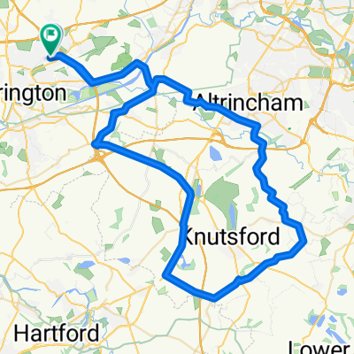 knutsfors peeover route
- Distance
- 69,8 km
- Montée
- 146 m
- Descente
- 149 m
- Emplacement
- Croft, Angleterre, Royaume-Uni
 Route from Moss Gate, Birchwood, Warrington
- Distance
- 12,2 km
- Montée
- 122 m
- Descente
- 89 m
- Emplacement
- Croft, Angleterre, Royaume-Uni
 14–15 Delenty Drive, Warrington to 14–15 Delenty Drive, Warrington
- Distance
- 23,6 km
- Montée
- 88 m
- Descente
- 88 m
- Emplacement
- Croft, Angleterre, Royaume-Uni