From Cranleigh to Worthing
- 54,8 km
- 158 m
- 214 m
- Cranleigh, Angleterre, Royaume-Uni

Trouve l’itinéraire à vélo qui te convient à Cranleigh, où nous avons 131 pistes cyclables à explorer. La plupart des gens enfourchent leur vélo pour rouler ici aux mois de avril et juin.
Distance enregistrée
Itinéraires cyclables
Population
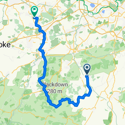
Itinéraire à vélo à Cranleigh, Angleterre, Royaume-Uni
Itinéraire à vélo à Cranleigh, Angleterre, Royaume-Uni


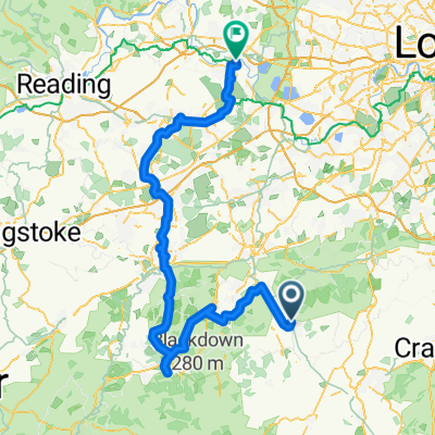
Itinéraire à vélo à Cranleigh, Angleterre, Royaume-Uni
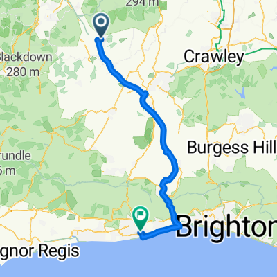
Itinéraire à vélo à Cranleigh, Angleterre, Royaume-Uni